Goth Garelo night lights from space
Night Light of Goth Garelo (Sindh) from space (Pakistan) Src. Average luminocity for 10x10km area is 0% and for 50x50km: 2.9336%.
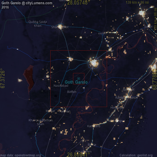
Analysis of Goth Garelo night lights 2016
Square area 10x10 km:
 0%
0%90-99
0%80-89
0%70-79
0%60-69
0%50-59
0%40-49
0%30-39
0%20-29
0%10-19
0%0-9
100%Square area 50x50 km:
0.24%90-99
0.5%80-89
0.2%70-79
0.2%60-69
0.57%50-59
0.47%40-49
0.56%30-39
0.47%20-29
0.64%10-19
2%0-9
94.16%Clear (daylight) street map image can be seen on geolist.org.
Map coordinates:
28° 3' 26.9" North, 67° 22' 21.4" East
27° 26' 6.8" North, 68° 4' 32.6" East
26° 48' 33.9" North, 68° 46' 43.9" East
Some cities around Goth Garelo sort by population:
• Larkana
19.2 km =11.9 mi,  44°
44°
• Kambar
18.5 km =11.5 mi,  336°
336°
• New Bādāh
11.3 km =7 mi,  202°
202°
• Nasirabad
16.8 km =10.4 mi,  249°
249°
• Warah
27.6 km =17.1 mi,  272°
272°
• Dokri
7.1 km =4.4 mi,  162°
162°
• Sobhodero
34.9 km =21.7 mi,  114°
114°
• Miro Khan
36.1 km =22.4 mi,  2°
2°
1178902 (p: 6,853)
Sources (retrieved 2019-11-25):
» Earth at Night: Flat Maps 2012, 2016