New Bādāh night lights from space
Night Light of New Bādāh (Sindh) from space (Pakistan) Src. Average luminocity for 10x10km area is 0.1136% and for 50x50km: 2.4693%.
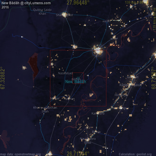
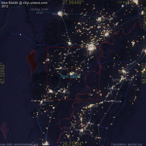
Analysis of New Bādāh night lights 2016
Square area 10x10 km:
 0%
0%90-99
0%80-89
0%70-79
0%60-69
0%50-59
0%40-49
0%30-39
0%20-29
0%10-19
0%0-9
100%Square area 50x50 km:
0.12%90-99
0.27%80-89
0.21%70-79
0.22%60-69
0.47%50-59
0.36%40-49
0.87%30-39
0.66%20-29
0.49%10-19
1.28%0-9
95.06%Clear (daylight) street map image can be seen on geolist.org.
Map coordinates:
27° 57' 52.1" North, 67° 19' 43.8" East
27° 20' 30" North, 68° 1' 55" East
26° 42' 55.2" North, 68° 44' 6.3" East
Some cities around New Bādāh sort by population:
• Larkana
30 km =18.6 mi,  36°
36°
• Kambar
27.5 km =17.1 mi,  353°
353°
• Mehar
27.5 km =17.1 mi,  229°
229°
• Nasirabad
12.2 km =7.6 mi,  291°
291°
• Warah
26.1 km =16.2 mi,  296°
296°
• Goth Radhan
17.7 km =11 mi,  205°
205°
• Dokri
7.4 km =4.6 mi,  60°
60°
• Goth Garelo
11.3 km =7 mi,  22°
22°
1357699 (p: 38,855)
Sources (retrieved 2019-11-25):
» Earth at Night: Flat Maps 2012, 2016