Nasirabad night lights from space
Night Light of Nasirabad (Sindh) from space (Pakistan) Src. Average luminocity for 10x10km area is 1.25% and for 50x50km: 1.7888%.
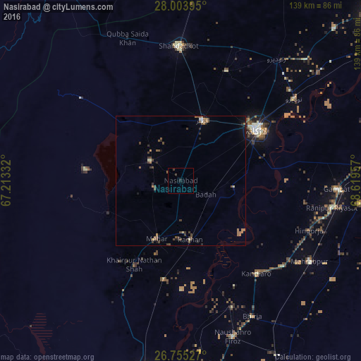
Analysis of Nasirabad night lights 2016
Square area 10x10 km:
 0%
0%90-99
0%80-89
0%70-79
0%60-69
0%50-59
0.38%40-49
0.95%30-39
0.57%20-29
0.76%10-19
0.76%0-9
96.59%Square area 50x50 km:
0.06%90-99
0.05%80-89
0.14%70-79
0.12%60-69
0.51%50-59
0.41%40-49
0.68%30-39
0.49%20-29
0.35%10-19
0.53%0-9
96.68%Clear (daylight) street map image can be seen on geolist.org.
Map coordinates:
28° 0' 14.2" North, 67° 12' 48" East
27° 22' 52.9" North, 67° 54' 59.2" East
26° 45' 19" North, 68° 37' 10.5" East
Some cities around Nasirabad sort by population:
• Larkana
35.2 km =21.9 mi,  55°
55°
• Kambar
24.4 km =15.2 mi,  19°
19°
• New Bādāh
12.2 km =7.6 mi,  111°
111°
• Mehar
24.3 km =15.1 mi,  202°
202°
• Warah
14 km =8.7 mi,  302°
302°
• Goth Radhan
20.7 km =12.9 mi,  169°
169°
• Dokri
17.9 km =11.1 mi,  92°
92°
• Goth Garelo
16.8 km =10.4 mi,  69°
69°
1169254 (p: 27,809)
Sources (retrieved 2019-11-25):
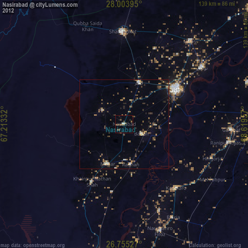
» Earth at Night: Flat Maps 2012, 2016