Kabirwala night lights from space
Night Light of Kabirwala (Punjab) from space (Pakistan) Src. Average luminocity for 10x10km area is 15.5586% and for 50x50km: 5.8386%.
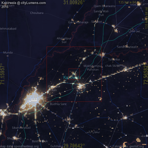
Analysis of Kabirwala night lights 2016
Square area 10x10 km:
 0.92%
0.92%90-99
0.55%80-89
1.65%70-79
2.38%60-69
0.73%50-59
0.92%40-49
7.88%30-39
5.31%20-29
4.76%10-19
6.41%0-9
68.5%Square area 50x50 km:
0.19%90-99
0.68%80-89
0.38%70-79
0.58%60-69
0.36%50-59
0.54%40-49
2.5%30-39
1.49%20-29
1.87%10-19
4.67%0-9
86.75%Clear (daylight) street map image can be seen on geolist.org.
Map coordinates:
31° 0' 33.3" North, 71° 9' 34.5" East
30° 24' 17" North, 71° 51' 45.7" East
29° 47' 47.1" North, 72° 33' 57" East
Some cities around Kabirwala sort by population:
• Multan
43.6 km =27.1 mi,  237°
237°
• Vihari
62 km =38.5 mi,  130°
130°
• Mian Channun
47.5 km =29.5 mi,  85°
85°
• Garh Maharaja
47.9 km =29.8 mi,  4°
4°
• Talamba
38.7 km =24 mi,  69°
69°
• Ahmadpur Sial
32.5 km =20.2 mi,  339°
339°
• Qadirpur Ran
22.2 km =13.8 mi, 235°
• Sarai Sidhu
23.5 km =14.6 mi,  25°
25°
1175560 (p: 60,782)
Sources (retrieved 2019-11-25):
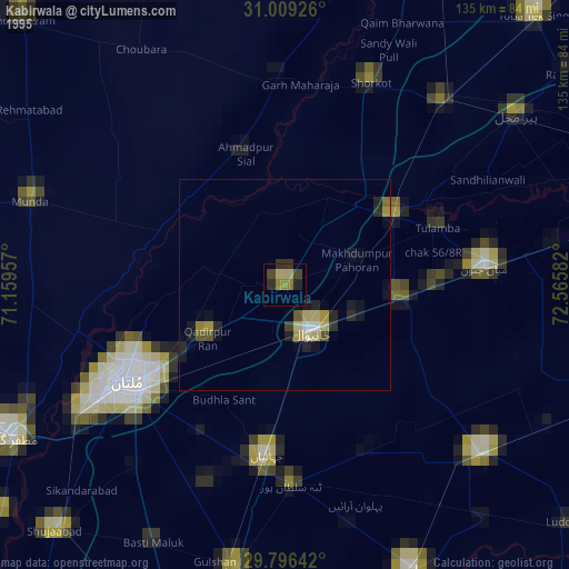
» NASA, Earths city lights 1995
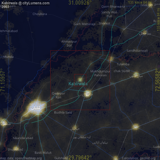
» NASA city lights 2003
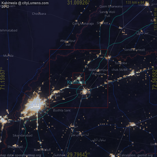
» Earth at Night: Flat Maps 2012, 2016