Setharja Old night lights from space
Night Light of Setharja Old (Sindh) from space (Pakistan) Src. Average luminocity for 10x10km area is 12.2898% and for 50x50km: 4.5852%.
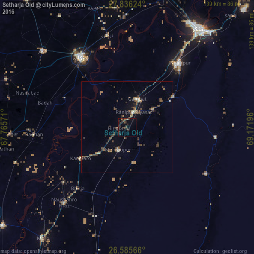
Analysis of Setharja Old night lights 2016
Square area 10x10 km:
 0%
0%90-99
0.38%80-89
0.38%70-79
0.57%60-69
0.95%50-59
3.03%40-49
4.55%30-39
5.11%20-29
7.39%10-19
4.55%0-9
73.11%Square area 50x50 km:
0.08%90-99
0.38%80-89
0.3%70-79
0.35%60-69
0.65%50-59
0.97%40-49
1.72%30-39
1.25%20-29
1.18%10-19
1.66%0-9
91.45%Clear (daylight) street map image can be seen on geolist.org.
Map coordinates:
27° 50' 10.5" North, 67° 45' 56.6" East
27° 12' 45.7" North, 68° 28' 7.8" East
26° 35' 8.4" North, 69° 10' 19.1" East
Some cities around Setharja Old sort by population:
• Gambat
16.3 km =10.1 mi,  18°
18°
• Kandiaro
30.8 km =19.1 mi,  236°
236°
• Kot Diji
27.7 km =17.2 mi,  58°
58°
• Ranipur
9.1 km =5.7 mi, 24°
• Hingorja
5.2 km =3.2 mi,  267°
267°
• Sobhodero
12.4 km =7.7 mi,  325°
325°
• Bozdar Wada
16.8 km =10.4 mi,  101°
101°
• Kandiari
33.5 km =20.8 mi,  170°
170°
1412008 (p: 32,651)
Sources (retrieved 2019-11-25):
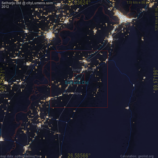
» Earth at Night: Flat Maps 2012, 2016