Kot Diji night lights from space
Night Light of Kot Diji (Sindh) from space (Pakistan) Src. Average luminocity for 10x10km area is 6.8561% and for 50x50km: 4.231%.
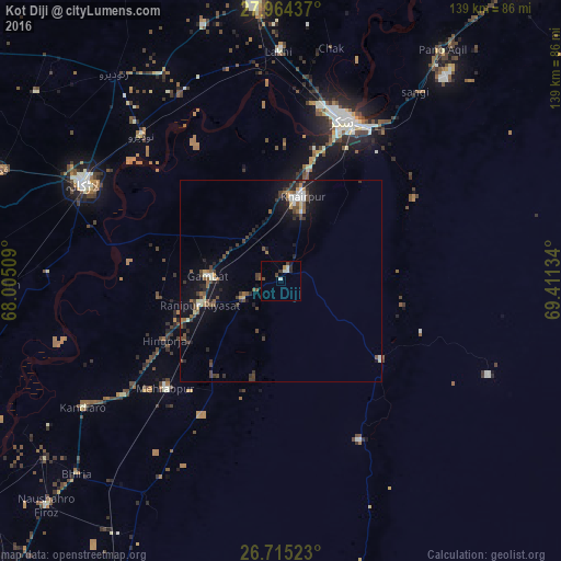
Analysis of Kot Diji night lights 2016
Square area 10x10 km:
 0.57%
0.57%90-99
2.46%80-89
0%70-79
0%60-69
0.76%50-59
0.38%40-49
2.65%30-39
0.76%20-29
1.52%10-19
0.76%0-9
90.15%Square area 50x50 km:
0.3%90-99
0.57%80-89
0.27%70-79
0.28%60-69
0.36%50-59
0.83%40-49
1.34%30-39
0.95%20-29
1.02%10-19
3.2%0-9
90.88%Clear (daylight) street map image can be seen on geolist.org.
Map coordinates:
27° 57' 51.7" North, 68° 0' 18.3" East
27° 20' 29.6" North, 68° 42' 29.6" East
26° 42' 54.8" North, 69° 24' 40.8" East
Some cities around Kot Diji sort by population:
• Khairpur Mir’s
21.5 km =13.4 mi,  13°
13°
• Pir Jo Goth
29.2 km =18.1 mi,  342°
342°
• Gambat
18.5 km =11.5 mi,  273°
273°
• Setharja Old
27.7 km =17.2 mi,  238°
238°
• Ranipur
20.8 km =12.9 mi,  253°
253°
• Hingorja
32.3 km =20.1 mi, 243°
• Sobhodero
31 km =19.3 mi,  262°
262°
• Bozdar Wada
19 km =11.8 mi,  202°
202°
1173302 (p: 25,616)
Sources (retrieved 2019-11-25):
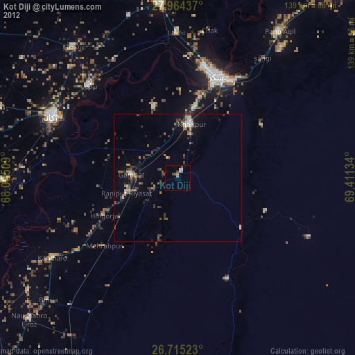
» Earth at Night: Flat Maps 2012, 2016