Gambat night lights from space
Night Light of Gambat (Sindh) from space (Pakistan) Src. Average luminocity for 10x10km area is 17.8011% and for 50x50km: 4.8296%.
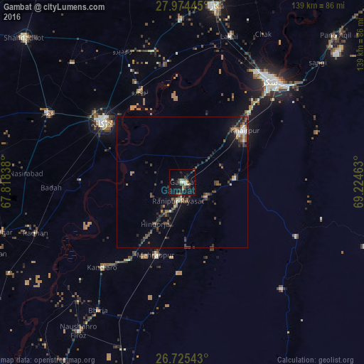
Analysis of Gambat night lights 2016
Square area 10x10 km:
 0.38%
0.38%90-99
3.22%80-89
0.19%70-79
1.52%60-69
2.08%50-59
5.11%40-49
3.41%30-39
2.65%20-29
6.63%10-19
16.48%0-9
58.33%Square area 50x50 km:
0.3%90-99
0.54%80-89
0.24%70-79
0.3%60-69
0.53%50-59
0.99%40-49
1.62%30-39
1.15%20-29
1.45%10-19
2.81%0-9
90.06%Clear (daylight) street map image can be seen on geolist.org.
Map coordinates:
27° 58' 28" North, 67° 49' 6.2" East
27° 21' 6.1" North, 68° 31' 17.4" East
26° 43' 31.5" North, 69° 13' 28.7" East
Some cities around Gambat sort by population:
• Khairpur Mir’s
30.7 km =19.1 mi,  49°
49°
• Pir Jo Goth
28.4 km =17.6 mi,  19°
19°
• Setharja Old
16.3 km =10.1 mi,  198°
198°
• Kot Diji
18.5 km =11.5 mi,  93°
93°
• Ranipur
7.3 km =4.5 mi,  191°
191°
• Hingorja
18.8 km =11.7 mi,  213°
213°
• Sobhodero
13.3 km =8.3 mi,  246°
246°
• Bozdar Wada
21.9 km =13.6 mi,  148°
148°
1179061 (p: 34,005)
Sources (retrieved 2019-11-25):
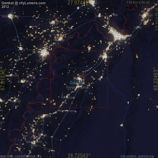
» Earth at Night: Flat Maps 2012, 2016