Kandiaro night lights from space
Night Light of Kandiaro (Sindh) from space (Pakistan) Src. Average luminocity for 10x10km area is 8.3194% and for 50x50km: 3.6446%.
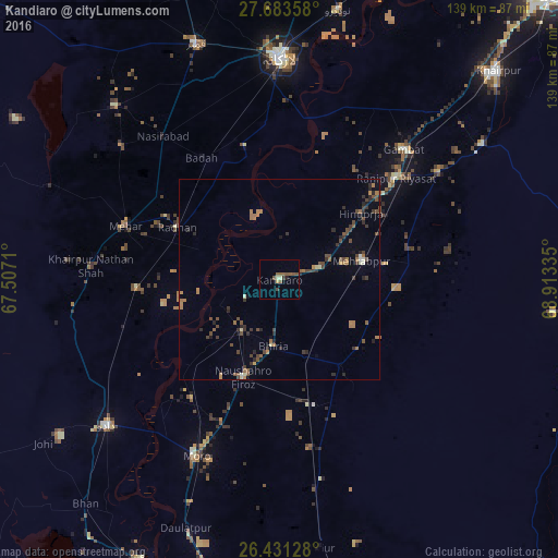
Analysis of Kandiaro night lights 2016
Square area 10x10 km:
 0%
0%90-99
0.79%80-89
0.99%70-79
0.6%60-69
0%50-59
5.75%40-49
2.18%30-39
0.79%20-29
0.6%10-19
0.79%0-9
87.5%Square area 50x50 km:
0.05%90-99
0.17%80-89
0.27%70-79
0.19%60-69
1.06%50-59
0.72%40-49
1.27%30-39
0.83%20-29
1.14%10-19
0.4%0-9
93.91%Clear (daylight) street map image can be seen on geolist.org.
Map coordinates:
27° 41' 0.9" North, 67° 30' 25.6" East
27° 3' 33" North, 68° 12' 36.8" East
26° 25' 52.6" North, 68° 54' 48.1" East
Some cities around Kandiaro sort by population:
• Setharja Old
30.8 km =19.1 mi,  56°
56°
• Hingorja
26.4 km =16.4 mi,  50°
50°
• Pad Idan
32.9 km =20.4 mi,  164°
164°
• Tharu Shah
15.9 km =9.9 mi,  215°
215°
• Naushahro Firoz
25.9 km =16.1 mi,  199°
199°
• Goth Radhan
29.8 km =18.5 mi,  301°
301°
• Bhiria
16.6 km =10.3 mi,  185°
185°
• Karaundi
26.5 km =16.5 mi,  132°
132°
1175010 (p: 26,807)
Sources (retrieved 2019-11-25):
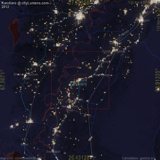
» Earth at Night: Flat Maps 2012, 2016