Ranipur night lights from space
Night Light of Ranipur (Sindh) from space (Pakistan) Src. Average luminocity for 10x10km area is 21.1193% and for 50x50km: 4.7008%.
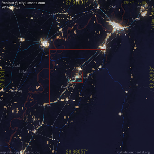
Analysis of Ranipur night lights 2016
Square area 10x10 km:
 0%
0%90-99
2.08%80-89
3.22%70-79
1.52%60-69
2.27%50-59
7.01%40-49
4.73%30-39
2.65%20-29
4.36%10-19
28.03%0-9
44.13%Square area 50x50 km:
0.11%90-99
0.43%80-89
0.32%70-79
0.3%60-69
0.59%50-59
0.88%40-49
1.84%30-39
1.19%20-29
1.4%10-19
2.13%0-9
90.82%Clear (daylight) street map image can be seen on geolist.org.
Map coordinates:
27° 54' 37.1" North, 67° 48' 11.2" East
27° 17' 13.9" North, 68° 30' 22.4" East
26° 39' 38.1" North, 69° 12' 33.7" East
Some cities around Ranipur sort by population:
• Khairpur Mir’s
36.7 km =22.8 mi,  42°
42°
• Pir Jo Goth
35.6 km =22.1 mi,  18°
18°
• Gambat
7.3 km =4.5 mi,  11°
11°
• Setharja Old
9.1 km =5.7 mi,  204°
204°
• Kot Diji
20.8 km =12.9 mi,  73°
73°
• Hingorja
12.3 km =7.6 mi,  226°
226°
• Sobhodero
11 km =6.8 mi,  280°
280°
• Bozdar Wada
17.3 km =10.7 mi,  132°
132°
1167142 (p: 22,495)
Sources (retrieved 2019-11-25):
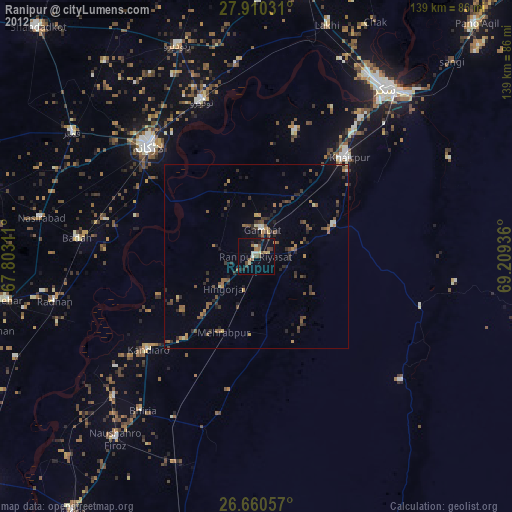
» Earth at Night: Flat Maps 2012, 2016