Sukheke Mandi night lights from space
Night Light of Sukheke Mandi (Punjab) from space (Pakistan) Src. Average luminocity for 10x10km area is 6.5549% and for 50x50km: 3.0497%.
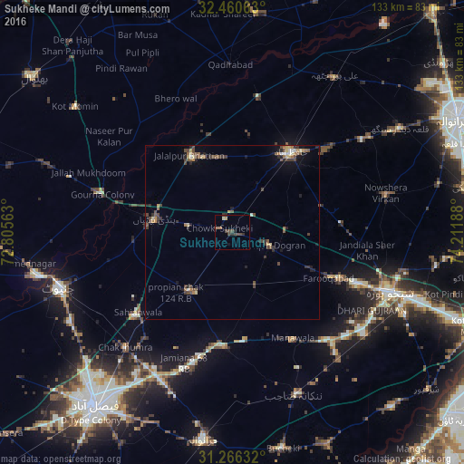
Analysis of Sukheke Mandi night lights 2016
Square area 10x10 km:
 0%
0%90-99
0.73%80-89
0%70-79
0.73%60-69
1.47%50-59
0%40-49
5.13%30-39
1.28%20-29
1.65%10-19
1.47%0-9
87.55%Square area 50x50 km:
0.07%90-99
0.25%80-89
0.37%70-79
0.3%60-69
0.54%50-59
0.47%40-49
1.17%30-39
0.73%20-29
0.72%10-19
1.07%0-9
94.31%Clear (daylight) street map image can be seen on geolist.org.
Map coordinates:
32° 27' 38.3" North, 72° 48' 20.3" East
31° 51' 55.5" North, 73° 30' 31.5" East
31° 15' 58.8" North, 74° 12' 42.8" East
Some cities around Sukheke Mandi sort by population:
• Shahkot
32.8 km =20.4 mi,  183°
183°
• Hafizabad
28.4 km =17.6 mi,  36°
36°
• Chuchar-kana Mandi
30.4 km =18.9 mi,  114°
114°
• Sangla Hill
20.3 km =12.6 mi,  215°
215°
• Pindi Bhattian
22.5 km =14 mi,  279°
279°
• Khangah Dogran
11.3 km =7 mi, 108°
• Mananwala
35.3 km =21.9 mi,  151°
151°
• Kaleke Mandi
15 km =9.3 mi, 35°
1164419 (p: 32,836)
Sources (retrieved 2019-11-25):
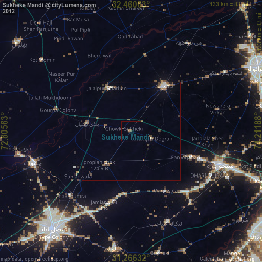
» Earth at Night: Flat Maps 2012, 2016