Murree night lights from space
Night Light of Murree (Punjab) from space (Pakistan) Src. Average luminocity for 10x10km area is 18.9423% and for 50x50km: 6.055%.
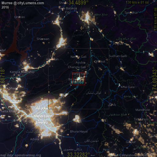
Analysis of Murree night lights 2016
Square area 10x10 km:
 0.17%
0.17%90-99
3.5%80-89
0.52%70-79
0.7%60-69
3.5%50-59
3.5%40-49
6.47%30-39
4.55%20-29
6.29%10-19
11.36%0-9
59.44%Square area 50x50 km:
0.22%90-99
0.93%80-89
0.5%70-79
0.76%60-69
0.88%50-59
1.25%40-49
1.4%30-39
1.08%20-29
2.17%10-19
3.55%0-9
87.25%Clear (daylight) street map image can be seen on geolist.org.
Map coordinates:
34° 29' 23.6" North, 72° 41' 13.8" East
33° 54' 30.1" North, 73° 23' 25.1" East
33° 19' 22.2" North, 74° 5' 36.3" East
Some cities around Murree sort by population:
• Rawalpindi
46.9 km =29.1 mi,  222°
222°
• Islamabad
38.2 km =23.7 mi,  237°
237°
• Abbottabad
31.2 km =19.4 mi,  328°
328°
• Haripur
43.2 km =26.8 mi,  283°
283°
• Rawala Kot
34.6 km =21.5 mi,  99°
99°
• Kamra
21.2 km =13.2 mi,  147°
147°
• Havelian
26.7 km =16.6 mi,  307°
307°
• Kahuta
35.2 km =21.9 mi,  180°
180°
1169684 (p: 25,247)
Sources (retrieved 2019-11-25):
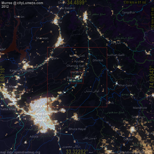
» Earth at Night: Flat Maps 2012, 2016