Pir Jo Goth night lights from space
Night Light of Pir Jo Goth (Sindh) from space (Pakistan) Src. Average luminocity for 10x10km area is 0.4663% and for 50x50km: 6.8559%.
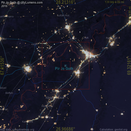
Analysis of Pir Jo Goth night lights 2016
Square area 10x10 km:
 0%
0%90-99
0%80-89
0%70-79
0%60-69
0%50-59
0%40-49
0%30-39
0.79%20-29
0%10-19
1.59%0-9
97.62%Square area 50x50 km:
0.61%90-99
1.36%80-89
0.51%70-79
0.46%60-69
1.03%50-59
0.92%40-49
1.23%30-39
1.09%20-29
1.99%10-19
5.3%0-9
85.49%Clear (daylight) street map image can be seen on geolist.org.
Map coordinates:
28° 12' 47.4" North, 67° 54' 55.3" East
27° 35' 30.4" North, 68° 37' 6.5" East
26° 58' 0.7" North, 69° 19' 17.8" East
Some cities around Pir Jo Goth sort by population:
• Sukkur
26.7 km =16.6 mi,  62°
62°
• Khairpur Mir’s
15.5 km =9.6 mi,  116°
116°
• Rohri
29.4 km =18.3 mi,  67°
67°
• Gambat
28.4 km =17.6 mi,  199°
199°
• Naudero
26.7 km =16.6 mi,  288°
288°
• Kot Diji
29.2 km =18.1 mi,  162°
162°
• Madeji
24.3 km =15.1 mi,  317°
317°
• Bagarji
22.7 km =14.1 mi,  37°
37°
1161991 (p: 35,537)
Sources (retrieved 2019-11-25):
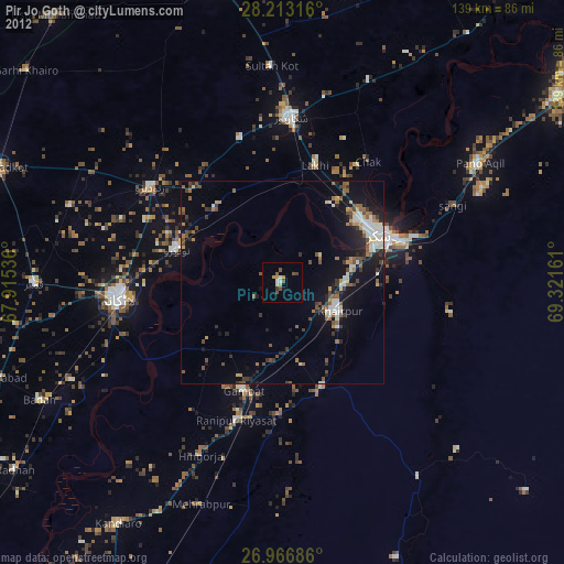
» Earth at Night: Flat Maps 2012, 2016