Lahore night lights from space
Night Light of Lahore (Punjab) from space (Pakistan) Src. Average luminocity for 10x10km area is 99.8706% and for 50x50km: 49.0359%.
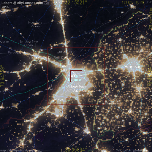
Analysis of Lahore night lights 2016
Square area 10x10 km:
 88.81%
90-99
11.19%80-89
0%70-79
0%60-69
0%50-59
0%40-49
0%30-39
0%20-29
0%10-19
0%0-9
0%Square area 50x50 km:
14.02%90-99
14.65%80-89
2.37%70-79
3.05%60-69
4.18%50-59
5.9%40-49
7.12%30-39
6.71%20-29
10.49%10-19
15.83%0-9
15.67%Clear (daylight) street map image can be seen on geolist.org.
Map coordinates:
32° 9' 18.8" North, 73° 38' 51.3" East
31° 33' 28.8" North, 74° 21' 2.6" East
30° 57' 25" North, 75° 3' 13.8" East
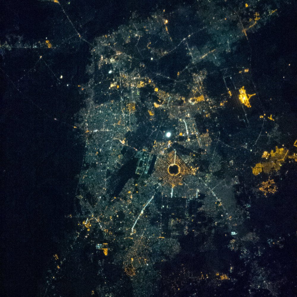
Fantastic image of Lahore from space taken by astronauts [src2], but I don't have information about it's orientation, scale or angle. If necessary, it was rotated manually, so North points approximately to upper direction. Click to zoom in:
Some cities around Lahore sort by population:
• Shekhupura
38.6 km =24 mi,  296°
296°
• Muridke
28.6 km =17.8 mi,  342°
342°
• Kahna Nau
21.3 km =13.2 mi,  175°
175°
• Narang Mandi
41.5 km =25.8 mi,  22°
22°
• Sharqpur Sharif
26 km =16.2 mi,  245°
245°
• Raiwind
36.7 km =22.8 mi,  200°
200°
• Raja Jang
38.6 km =24 mi,  193°
193°
• Rāja Sānsi, IN
46.3 km =28.8 mi,  67°
67°
1172451 (p: 6,310,888)
Sources (retrieved 2019-11-25):
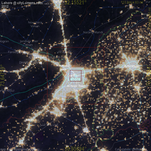
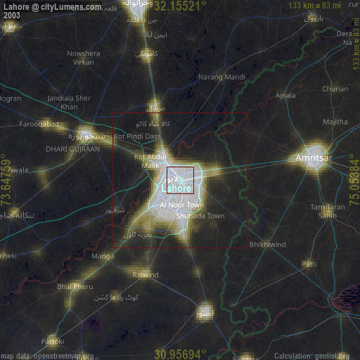
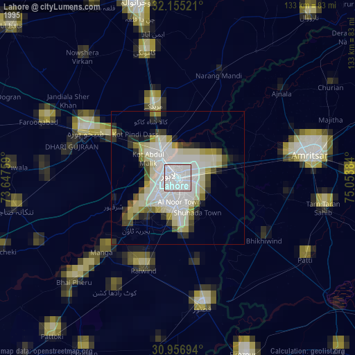
» NASA, Earths city lights 1995
» NASA city lights 2003
» Earth at Night: Flat Maps 2012, 2016
Src.2: NASA.gov ID: ISS035-E-11121, 2013-03-26