Pindi Gheb night lights from space
Night Light of Pindi Gheb (Punjab) from space (Pakistan) Src. Average luminocity for 10x10km area is 2.3199% and for 50x50km: 0.7511%.
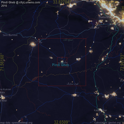
Analysis of Pindi Gheb night lights 2016
Square area 10x10 km:
 0%
0%90-99
0%80-89
0.52%70-79
0.17%60-69
0%50-59
0.7%40-49
0.52%30-39
1.57%20-29
1.4%10-19
0%0-9
95.1%Square area 50x50 km:
0%90-99
0.17%80-89
0.11%70-79
0.04%60-69
0.06%50-59
0.19%40-49
0.24%30-39
0.14%20-29
0.16%10-19
0.15%0-9
98.75%Clear (daylight) street map image can be seen on geolist.org.
Map coordinates:
33° 49' 37.3" North, 71° 33' 42" East
33° 14' 27.4" North, 72° 15' 53.3" East
32° 39' 3.2" North, 72° 58' 4.5" East
Some cities around Pindi Gheb sort by population:
• Chakwal
64.7 km =40.2 mi,  121°
121°
• Attock City
59.1 km =36.7 mi,  8°
8°
• Talagang
37.6 km =23.4 mi,  157°
157°
• Daud Khel
76.4 km =47.5 mi,  237°
237°
• Jand
31.3 km =19.4 mi,  313°
313°
• Kalabagh
73.8 km =45.9 mi,  245°
245°
• Kallar Kahar
65.3 km =40.6 mi,  141°
141°
• Sanjwal
59.9 km =37.2 mi,  15°
15°
1168015 (p: 34,301)
Sources (retrieved 2019-11-25):
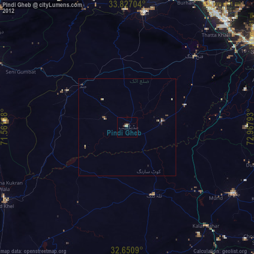
» Earth at Night: Flat Maps 2012, 2016