Chakwal night lights from space
Night Light of Chakwal (Punjab) from space (Pakistan) Src. Average luminocity for 10x10km area is 16.5696% and for 50x50km: 2.9463%.
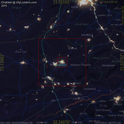
Analysis of Chakwal night lights 2016
Square area 10x10 km:
 0.18%
0.18%90-99
1.28%80-89
2.93%70-79
1.47%60-69
3.11%50-59
4.58%40-49
3.3%30-39
1.28%20-29
2.2%10-19
8.79%0-9
70.88%Square area 50x50 km:
0.06%90-99
0.41%80-89
0.4%70-79
0.23%60-69
0.36%50-59
0.62%40-49
0.8%30-39
0.45%20-29
0.6%10-19
0.66%0-9
95.4%Clear (daylight) street map image can be seen on geolist.org.
Map coordinates:
33° 31' 15.7" North, 72° 9' 3" East
32° 55' 58.3" North, 72° 51' 14.2" East
32° 20' 26.7" North, 73° 33' 25.5" East
Some cities around Chakwal sort by population:
• Talagang
40.9 km =25.4 mi,  269°
269°
• Malakwal City
53.7 km =33.4 mi,  141°
141°
• Khewra
34.8 km =21.6 mi,  155°
155°
• Bhera
50.4 km =31.3 mi,  174°
174°
• Pind Dadan Khan
42.4 km =26.3 mi, 155°
• Kallar Kahar
22.4 km =13.9 mi,  220°
220°
• Choa Saidan Shah
26.7 km =16.6 mi,  152°
152°
• Daultala
39.4 km =24.5 mi,  42°
42°
1181636 (p: 101,200)
Sources (retrieved 2019-11-25):
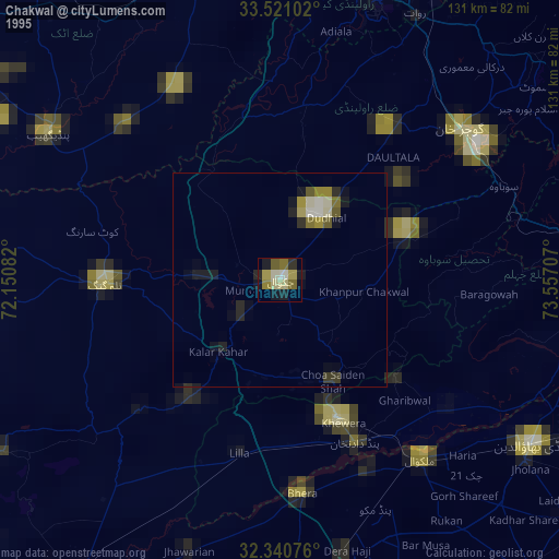
» NASA, Earths city lights 1995
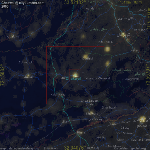
» NASA city lights 2003
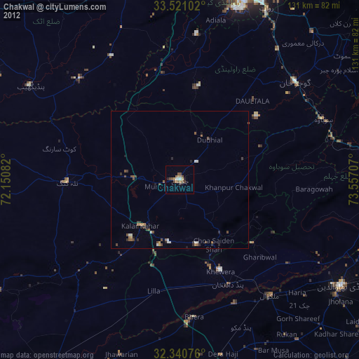
» Earth at Night: Flat Maps 2012, 2016