Nazir Town night lights from space
Night Light of Nazir Town (Punjab) from space (Pakistan) Src. Average luminocity for 10x10km area is 0% and for 50x50km: 4.865%.
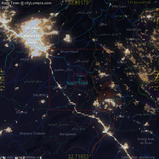
Analysis of Nazir Town night lights 2016
Square area 10x10 km:
 0%
0%90-99
0%80-89
0%70-79
0%60-69
0%50-59
0%40-49
0%30-39
0%20-29
0%10-19
0%0-9
100%Square area 50x50 km:
0.01%90-99
0.53%80-89
0.31%70-79
0.38%60-69
0.68%50-59
1.2%40-49
1.4%30-39
1.12%20-29
1.77%10-19
3.43%0-9
89.17%Clear (daylight) street map image can be seen on geolist.org.
Map coordinates:
33° 53' 30.4" North, 72° 46' 48.6" East
33° 18' 22.1" North, 73° 28' 59.9" East
32° 42' 59.5" North, 74° 11' 11.1" East
Some cities around Nazir Town sort by population:
• Kotli
45.5 km =28.3 mi,  58°
58°
• Jhelum
47.3 km =29.4 mi,  150°
150°
• New Mirpur
30.6 km =19 mi,  125°
125°
• Gujar Khan
17.6 km =10.9 mi,  250°
250°
• Sarai Alamgir
51.3 km =31.9 mi, 150°
• Kamra
49.1 km =30.5 mi,  3°
3°
• Kahuta
33 km =20.5 mi,  344°
344°
• Daultala
34.2 km =21.3 mi, 248°
7649128 (p: 6,750)
Sources (retrieved 2019-11-25):
» Earth at Night: Flat Maps 2012, 2016