Daultala night lights from space
Night Light of Daultala (Punjab) from space (Pakistan) Src. Average luminocity for 10x10km area is 2.4196% and for 50x50km: 1.5725%.
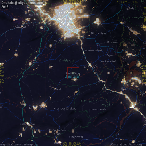
Analysis of Daultala night lights 2016
Square area 10x10 km:
 0%
0%90-99
0%80-89
0%70-79
0%60-69
0.52%50-59
0.17%40-49
1.57%30-39
1.22%20-29
0%10-19
0.7%0-9
95.8%Square area 50x50 km:
0.03%90-99
0.18%80-89
0.15%70-79
0.17%60-69
0.11%50-59
0.33%40-49
0.51%30-39
0.52%20-29
0.53%10-19
0.34%0-9
97.14%Clear (daylight) street map image can be seen on geolist.org.
Map coordinates:
33° 46' 45.3" North, 72° 26' 16.3" East
33° 11' 34.2" North, 73° 8' 27.6" East
32° 36' 8.8" North, 73° 50' 38.8" East
Some cities around Daultala sort by population:
• Rawalpindi
45.8 km =28.5 mi,  349°
349°
• Islamabad
59.5 km =37 mi, 351°
• New Mirpur
57.1 km =35.5 mi,  95°
95°
• Chakwal
39.4 km =24.5 mi,  222°
222°
• Gujar Khan
16.7 km =10.4 mi,  65°
65°
• Kahuta
49.9 km =31 mi,  27°
27°
• Choa Saidan Shah
54.6 km =33.9 mi,  195°
195°
• Nazir Town
34.2 km =21.3 mi, 68°
1180379 (p: 11,814)
Sources (retrieved 2019-11-25):
» Earth at Night: Flat Maps 2012, 2016