Jhelum night lights from space
Night Light of Jhelum (Punjab) from space (Pakistan) Src. Average luminocity for 10x10km area is 36.9066% and for 50x50km: 8.0285%.
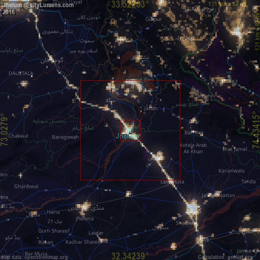
Analysis of Jhelum night lights 2016
Square area 10x10 km:
 0.37%
0.37%90-99
10.62%80-89
6.96%70-79
4.58%60-69
3.48%50-59
5.13%40-49
7.14%30-39
5.13%20-29
6.04%10-19
36.45%0-9
14.1%Square area 50x50 km:
0.12%90-99
1.5%80-89
0.85%70-79
0.92%60-69
0.94%50-59
1.34%40-49
1.52%30-39
1.15%20-29
1.94%10-19
7.75%0-9
81.97%Clear (daylight) street map image can be seen on geolist.org.
Map coordinates:
33° 31' 21.5" North, 73° 1' 40.4" East
32° 56' 4.1" North, 73° 43' 51.7" East
32° 20' 32.6" North, 74° 26' 2.9" East
Some cities around Jhelum sort by population:
• Bhimbar
32.7 km =20.3 mi,  82°
82°
• Mandi Bahauddin
44.7 km =27.8 mi,  210°
210°
• New Mirpur
23.8 km =14.8 mi,  4°
4°
• Kharian
19.6 km =12.2 mi,  132°
132°
• Lala Musa
33.5 km =20.8 mi,  140°
140°
• Sarai Alamgir
4 km =2.5 mi,  145°
145°
• Dinga
32.6 km =20.3 mi,  181°
181°
• Nazir Town
47.3 km =29.4 mi,  330°
330°
1175864 (p: 145,000)
Sources (retrieved 2019-11-25):
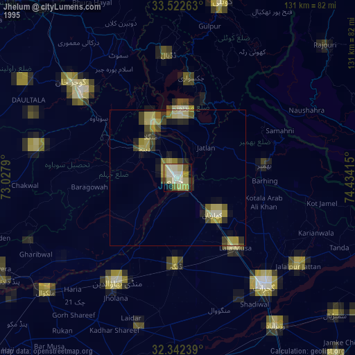
» NASA, Earths city lights 1995
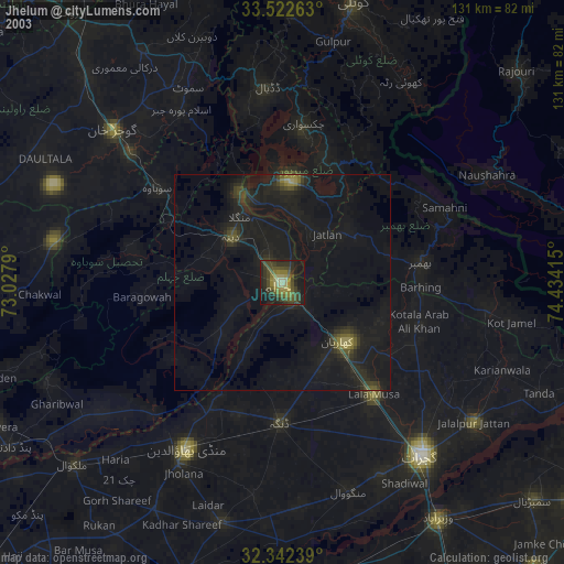
» NASA city lights 2003
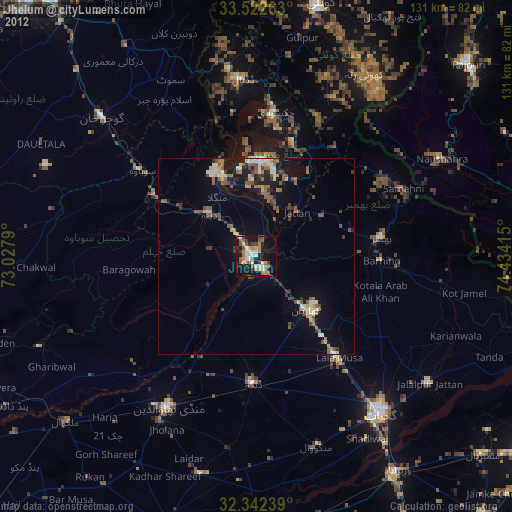
» Earth at Night: Flat Maps 2012, 2016