Sarai Alamgir night lights from space
Night Light of Sarai Alamgir (Punjab) from space (Pakistan) Src. Average luminocity for 10x10km area is 29.3993% and for 50x50km: 6.9773%.
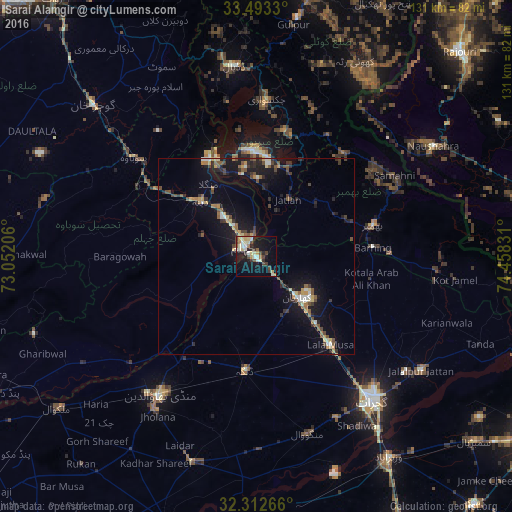
Analysis of Sarai Alamgir night lights 2016
Square area 10x10 km:
 0.37%
0.37%90-99
10.07%80-89
4.95%70-79
2.93%60-69
2.38%50-59
1.83%40-49
5.31%30-39
4.58%20-29
5.31%10-19
24.18%0-9
38.1%Square area 50x50 km:
0.11%90-99
1.16%80-89
0.72%70-79
0.84%60-69
0.7%50-59
1.15%40-49
1.37%30-39
1%20-29
1.73%10-19
6.87%0-9
84.36%Clear (daylight) street map image can be seen on geolist.org.
Map coordinates:
33° 29' 35.9" North, 73° 3' 7.4" East
32° 54' 17.8" North, 73° 45' 18.6" East
32° 18' 45.6" North, 74° 27' 29.9" East
Some cities around Sarai Alamgir sort by population:
• Bhimbar
31.1 km =19.3 mi,  75°
75°
• Jhelum
4 km =2.5 mi,  325°
325°
• Mandi Bahauddin
43.1 km =26.8 mi,  214°
214°
• New Mirpur
27 km =16.8 mi,  359°
359°
• Kharian
15.8 km =9.8 mi,  128°
128°
• Lala Musa
29.5 km =18.3 mi,  140°
140°
• Dinga
29.5 km =18.3 mi,  186°
186°
• Kunjah
46.5 km =28.9 mi,  153°
153°
1166073 (p: 44,120)
Sources (retrieved 2019-11-25):
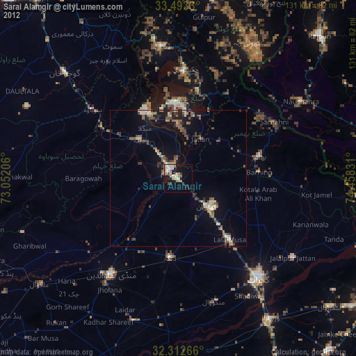
» Earth at Night: Flat Maps 2012, 2016