Gujar Khan night lights from space
Night Light of Gujar Khan (Punjab) from space (Pakistan) Src. Average luminocity for 10x10km area is 8.2045% and for 50x50km: 2.8246%.
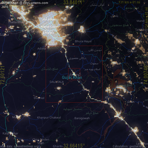
Analysis of Gujar Khan night lights 2016
Square area 10x10 km:
 0%
0%90-99
1.05%80-89
1.05%70-79
2.1%60-69
0%50-59
3.15%40-49
1.75%30-39
1.05%20-29
0.87%10-19
1.05%0-9
87.94%Square area 50x50 km:
0.05%90-99
0.21%80-89
0.21%70-79
0.23%60-69
0.19%50-59
0.7%40-49
0.94%30-39
0.8%20-29
1.23%10-19
1.99%0-9
93.46%Clear (daylight) street map image can be seen on geolist.org.
Map coordinates:
33° 50' 24.4" North, 72° 36' 4.4" East
33° 15' 14.8" North, 73° 18' 15.6" East
32° 39' 50.9" North, 74° 0' 26.9" East
Some cities around Gujar Khan sort by population:
• Rawalpindi
45 km =28 mi,  328°
328°
• Jhelum
53.3 km =33.1 mi,  131°
131°
• New Mirpur
43.3 km =26.9 mi,  105°
105°
• Chakwal
55.1 km =34.2 mi,  229°
229°
• Sarai Alamgir
57.2 km =35.5 mi, 132°
• Kahuta
38.3 km =23.8 mi,  11°
11°
• Daultala
16.7 km =10.4 mi,  245°
245°
• Nazir Town
17.6 km =10.9 mi,  70°
70°
1177682 (p: 69,374)
Sources (retrieved 2019-11-25):
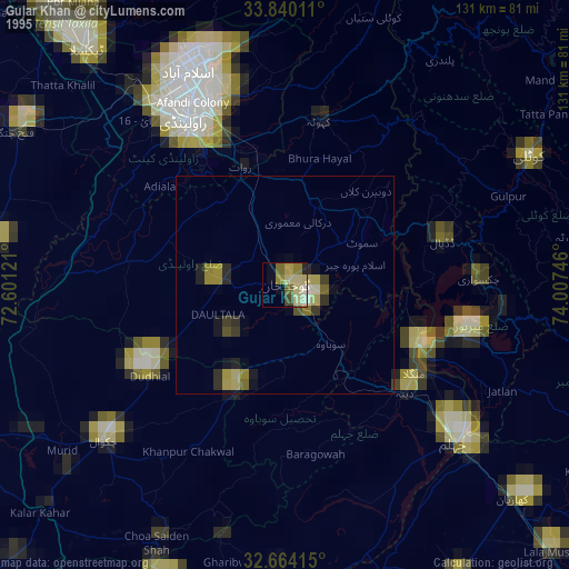
» NASA, Earths city lights 1995
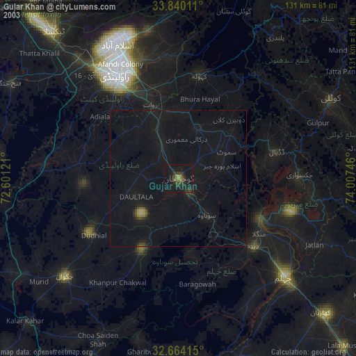
» NASA city lights 2003
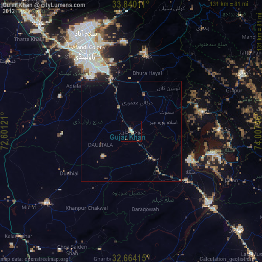
» Earth at Night: Flat Maps 2012, 2016