Mankera night lights from space
Night Light of Mankera (Punjab) from space (Pakistan) Src. Average luminocity for 10x10km area is 0.3864% and for 50x50km: 0.2469%.
Analysis of Mankera night lights 2016
Square area 10x10 km:
 0%
0%90-99
0%80-89
0%70-79
0%60-69
0%50-59
0%40-49
0.7%30-39
0%20-29
0%10-19
0.52%0-9
98.78%Square area 50x50 km:
0%90-99
0%80-89
0%70-79
0.06%60-69
0.15%50-59
0.06%40-49
0.06%30-39
0.06%20-29
0%10-19
0.05%0-9
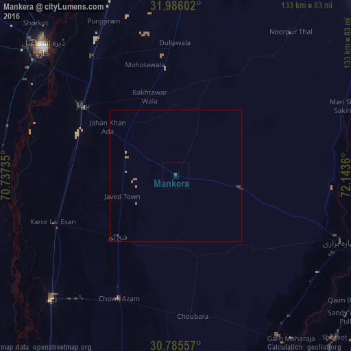
99.57%Clear (daylight) street map image can be seen on geolist.org.
Map coordinates:
31° 59' 9.7" North, 70° 44' 14.5" East
31° 23' 15.8" North, 71° 26' 25.7" East
30° 47' 8.1" North, 72° 8' 37" East
Some cities around Mankera sort by population:
• Dera Ismail Khan
71 km =44.1 mi,  314°
314°
• Bhakkar
44.5 km =27.7 mi, 306°
• Layyah
67.3 km =41.8 mi,  225°
225°
• Dullewala
49.7 km =30.9 mi,  359°
359°
• Garh Maharaja
75.8 km =47.1 mi,  144°
144°
• Karor
49.9 km =31 mi,  248°
248°
• Chak Two Hundred Forty-nine Thal Development Authority
32.4 km =20.1 mi,  223°
223°
• Darya Khan
54.5 km =33.9 mi,  323°
323°
1170974 (p: 10,819)
Sources (retrieved 2019-11-25):
» Earth at Night: Flat Maps 2012, 2016