Bhakkar night lights from space
Night Light of Bhakkar (Punjab) from space (Pakistan) Src. Average luminocity for 10x10km area is 2.5513% and for 50x50km: 1.8758%.
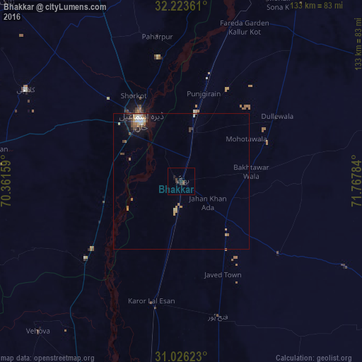

Analysis of Bhakkar night lights 2016
Square area 10x10 km:
 0%
0%90-99
0%80-89
0%70-79
0%60-69
0%50-59
0.37%40-49
1.83%30-39
1.47%20-29
2.01%10-19
1.47%0-9
92.86%Square area 50x50 km:
0.1%90-99
0.32%80-89
0.14%70-79
0.33%60-69
0.36%50-59
0.18%40-49
0.47%30-39
0.33%20-29
0.36%10-19
1.11%0-9
96.33%Clear (daylight) street map image can be seen on geolist.org.
Map coordinates:
32° 13' 25" North, 70° 21' 41.7" East
31° 37' 36.7" North, 71° 3' 53" East
31° 1' 34.4" North, 71° 46' 4.2" East
Some cities around Bhakkar sort by population:
• Dera Ismail Khan
27.5 km =17.1 mi,  325°
325°
• Shorkot
36.1 km =22.4 mi, 330°
• Dullewala
42 km =26.1 mi,  56°
56°
• Karor
46 km =28.6 mi,  193°
193°
• Chak Two Hundred Forty-nine Thal Development Authority
51.7 km =32.1 mi,  165°
165°
• Paharpur
53.9 km =33.5 mi,  350°
350°
• Darya Khan
17.9 km =11.1 mi,  11°
11°
• Mankera
44.5 km =27.7 mi,  126°
126°
1182815 (p: 81,950)
Sources (retrieved 2019-11-25):
» NASA, Earths city lights 1995
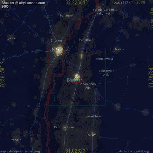
» NASA city lights 2003
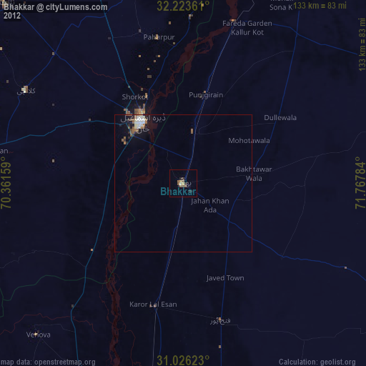
» Earth at Night: Flat Maps 2012, 2016