Dullewala night lights from space
Night Light of Dullewala (Punjab) from space (Pakistan) Src. Average luminocity for 10x10km area is 1.1264% and for 50x50km: 0.3939%.
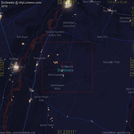
Analysis of Dullewala night lights 2016
Square area 10x10 km:
 0%
0%90-99
0%80-89
0%70-79
0%60-69
1.28%50-59
0.18%40-49
0%30-39
0%20-29
0%10-19
0.73%0-9
97.8%Square area 50x50 km:
0%90-99
0%80-89
0%70-79
0.1%60-69
0.36%50-59
0.06%40-49
0%30-39
0%20-29
0%10-19
0.03%0-9
99.46%Clear (daylight) street map image can be seen on geolist.org.
Map coordinates:
32° 25' 47.3" North, 70° 43' 59.8" East
31° 50' 3.8" North, 71° 26' 11" East
31° 14' 6.4" North, 72° 8' 22.3" East
Some cities around Dullewala sort by population:
• Dera Ismail Khan
50.5 km =31.4 mi,  269°
269°
• Bhakkar
42 km =26.1 mi,  236°
236°
• Shorkot
53.4 km =33.2 mi,  279°
279°
• Kalur Kot
39.1 km =24.3 mi,  335°
335°
• Paharpur
53.3 km =33.1 mi,  304°
304°
• Harnoli
50.6 km =31.4 mi,  12°
12°
• Darya Khan
32.1 km =19.9 mi,  260°
260°
• Mankera
49.7 km =30.9 mi,  179°
179°
1179496 (p: 48,682)
Sources (retrieved 2019-11-25):
» Earth at Night: Flat Maps 2012, 2016