Karor night lights from space
Night Light of Karor (Punjab) from space (Pakistan) Src. Average luminocity for 10x10km area is 0.6795% and for 50x50km: 0.2035%.
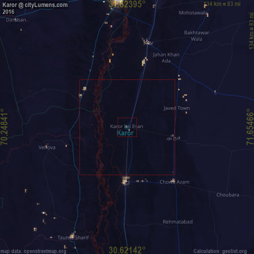
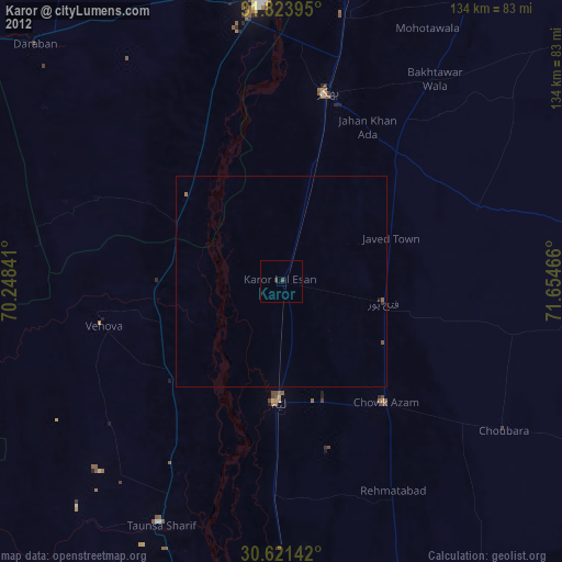
Analysis of Karor night lights 2016
Square area 10x10 km:
 0%
0%90-99
0%80-89
0%70-79
0%60-69
0%50-59
0%40-49
1.47%30-39
0%20-29
0%10-19
0%0-9
98.53%Square area 50x50 km:
0.01%90-99
0%80-89
0.05%70-79
0.01%60-69
0.06%50-59
0%40-49
0.13%30-39
0%20-29
0.03%10-19
0.07%0-9
99.64%Clear (daylight) street map image can be seen on geolist.org.
Map coordinates:
31° 49' 26.2" North, 70° 14' 54.3" East
31° 13' 28.6" North, 70° 57' 5.5" East
30° 37' 17.1" North, 71° 39' 16.8" East
Some cities around Karor sort by population:
• Dera Ismail Khan
67.6 km =42 mi,  355°
355°
• Bhakkar
46 km =28.6 mi,  13°
13°
• Layyah
29.3 km =18.2 mi,  182°
182°
• Taunsa
64.7 km =40.2 mi,  206°
206°
• Chak Two Hundred Forty-nine Thal Development Authority
24.6 km =15.3 mi,  102°
102°
• Darya Khan
63.9 km =39.7 mi, 12°
• Mankera
49.9 km =31 mi,  68°
68°
• Kot Sultan
50.2 km =31.2 mi, 182°
1174720 (p: 25,634)
Sources (retrieved 2019-11-25):
» Earth at Night: Flat Maps 2012, 2016