Chak Two Hundred Forty-nine Thal Development Authority night lights from space
Night Light of Chak Two Hundred Forty-nine Thal Development Authority (Punjab) from space (Pakistan) Src. Average luminocity for 10x10km area is 0.3736% and for 50x50km: 0.4553%.
Analysis of Chak Two Hundred Forty-nine Thal Development Authority night lights 2016
Square area 10x10 km:
 0%
0%90-99
0%80-89
0%70-79
0%60-69
0%50-59
0%40-49
0.73%30-39
0%20-29
0%10-19
0%0-9
99.27%Square area 50x50 km:
0%90-99
0.01%80-89
0%70-79
0%60-69
0.16%50-59
0.12%40-49
0.34%30-39
0.04%20-29
0.11%10-19
0.17%0-9
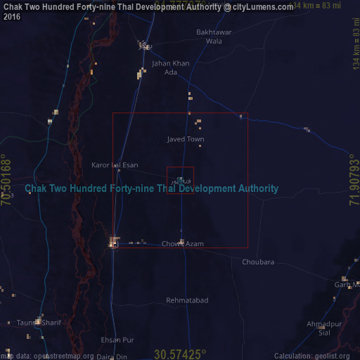
99.05%Clear (daylight) street map image can be seen on geolist.org.
Map coordinates:
31° 46' 38.5" North, 70° 30' 6" East
31° 10' 39.8" North, 71° 12' 17.3" East
30° 34' 27.3" North, 71° 54' 28.5" East
Some cities around Chak Two Hundred Forty-nine Thal Development Authority sort by population:
• Bhakkar
51.7 km =32.1 mi,  345°
345°
• Layyah
34.9 km =21.7 mi,  226°
226°
• Taunsa
74.7 km =46.4 mi, 225°
• Karor
24.6 km =15.3 mi,  282°
282°
• Darya Khan
68.2 km =42.4 mi, 351°
• Daira Din Panah
72.2 km =44.9 mi,  200°
200°
• Mankera
32.4 km =20.1 mi,  43°
43°
• Kot Sultan
51.9 km =32.2 mi,  210°
210°
1179305 (p: 18,126)
Sources (retrieved 2019-11-25):
» Earth at Night: Flat Maps 2012, 2016