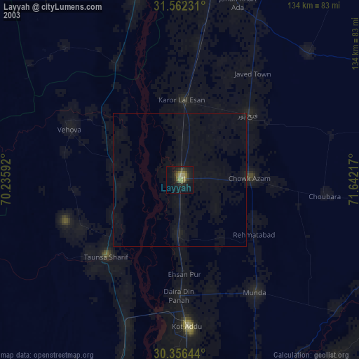
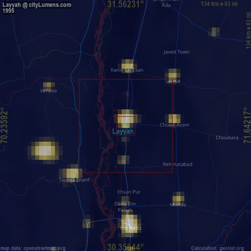
Layyah night lights from space
Night Light of Layyah (Punjab) from space (Pakistan) Src. Average luminocity for 10x10km area is 7.1758% and for 50x50km: 0.3794%.
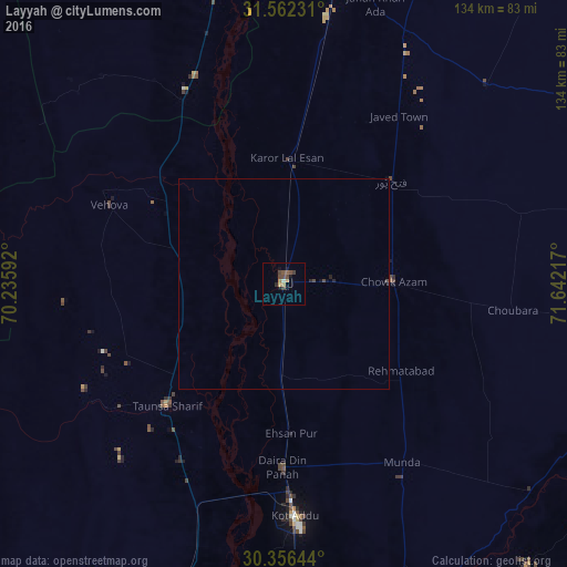
Analysis of Layyah night lights 2016
Square area 10x10 km:
 0%
0%90-99
0.37%80-89
0.37%70-79
0.73%60-69
2.2%50-59
0.92%40-49
4.4%30-39
1.28%20-29
0.73%10-19
2.56%0-9
86.45%Square area 50x50 km:
0%90-99
0.01%80-89
0.01%70-79
0.03%60-69
0.09%50-59
0.04%40-49
0.27%30-39
0.05%20-29
0.11%10-19
0.14%0-9
99.24%Clear (daylight) street map image can be seen on geolist.org.
Map coordinates:
31° 33' 44.3" North, 70° 14' 9.3" East
30° 57' 40.6" North, 70° 56' 20.5" East
30° 21' 23.2" North, 71° 38' 31.8" East
Some cities around Layyah sort by population:
• Kot Addu
54.8 km =34.1 mi,  177°
177°
• Bhakkar
75 km =46.6 mi,  9°
9°
• Taunsa
39.7 km =24.7 mi,  223°
223°
• Karor
29.3 km =18.2 mi,  2°
2°
• Chak Two Hundred Forty-nine Thal Development Authority
34.9 km =21.7 mi,  46°
46°
• Daira Din Panah
43.4 km =27 mi, 180°
• Mankera
67.3 km =41.8 mi, 45°
• Kot Sultan
20.9 km =13 mi, 182°
1172035 (p: 78,954)
Sources (retrieved 2019-11-25):
» NASA, Earths city lights 1995
» NASA city lights 2003
» Earth at Night: Flat Maps 2012, 2016