Kot Addu night lights from space
Night Light of Kot Addu (Punjab) from space (Pakistan) Src. Average luminocity for 10x10km area is 20.8242% and for 50x50km: 1.4665%.
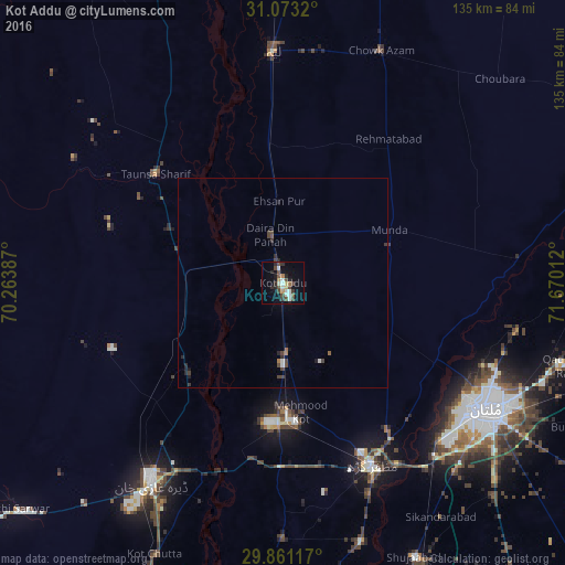
Analysis of Kot Addu night lights 2016
Square area 10x10 km:
 1.83%
1.83%90-99
5.49%80-89
1.28%70-79
1.65%60-69
1.1%50-59
1.83%40-49
7.69%30-39
2.2%20-29
4.58%10-19
10.44%0-9
61.9%Square area 50x50 km:
0.13%90-99
0.25%80-89
0.05%70-79
0.07%60-69
0.14%50-59
0.1%40-49
0.66%30-39
0.24%20-29
0.44%10-19
0.62%0-9
97.31%Clear (daylight) street map image can be seen on geolist.org.
Map coordinates:
31° 4' 23.5" North, 70° 15' 49.9" East
30° 28' 8.7" North, 70° 58' 1.2" East
29° 51' 40.2" North, 71° 40' 12.4" East
Some cities around Kot Addu sort by population:
• Multan
57.7 km =35.9 mi,  121°
121°
• Dera Ghazi Khan
56.6 km =35.2 mi,  213°
213°
• Muzaffargarh
49.2 km =30.6 mi,  153°
153°
• Layyah
54.8 km =34.1 mi,  357°
357°
• Taunsa
40 km =24.9 mi,  310°
310°
• Khangarh
64.4 km =40 mi,  163°
163°
• Daira Din Panah
11.6 km =7.2 mi,  345°
345°
• Kot Sultan
34 km =21.1 mi, 354°
1173378 (p: 104,217)
Sources (retrieved 2019-11-25):
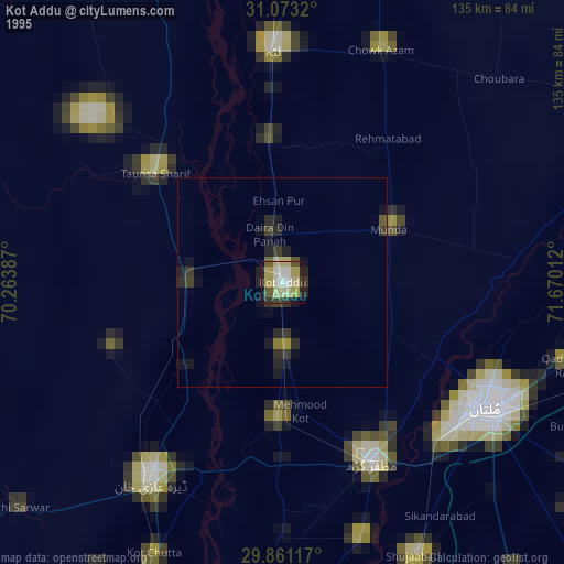
» NASA, Earths city lights 1995
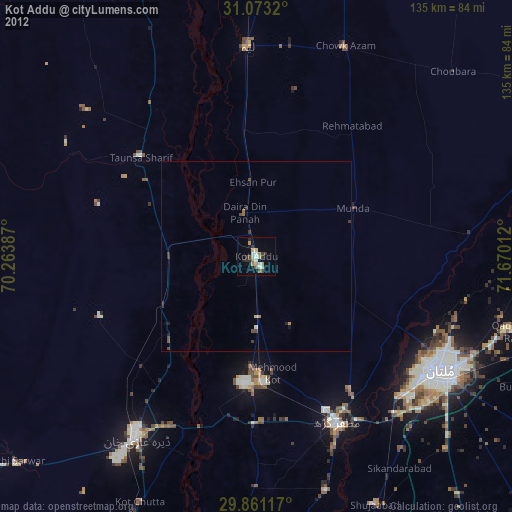
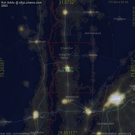
» NASA city lights 2003
» Earth at Night: Flat Maps 2012, 2016