Bhimbar night lights from space
Night Light of Bhimbar (Azad Kashmir) from space (Pakistan) Src. Average luminocity for 10x10km area is 5.9212% and for 50x50km: 4.817%.
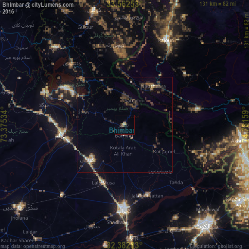
Analysis of Bhimbar night lights 2016
Square area 10x10 km:
 0%
0%90-99
0.73%80-89
0%70-79
1.47%60-69
1.47%50-59
0.73%40-49
0.73%30-39
0.55%20-29
1.65%10-19
2.56%0-9
90.11%Square area 50x50 km:
0.07%90-99
0.44%80-89
0.22%70-79
0.28%60-69
0.41%50-59
0.77%40-49
1.71%30-39
2.02%20-29
1.81%10-19
3.32%0-9
88.95%Clear (daylight) street map image can be seen on geolist.org.
Map coordinates:
33° 33' 45.1" North, 73° 22' 31.2" East
32° 58' 28.7" North, 74° 4' 42.5" East
32° 22' 58.2" North, 74° 46' 53.7" East
Some cities around Bhimbar sort by population:
• Gujrat
44.5 km =27.7 mi,  180°
180°
• Jhelum
32.7 km =20.3 mi,  262°
262°
• New Mirpur
36 km =22.4 mi,  302°
302°
• Jalalpur Jattan
38.9 km =24.2 mi,  162°
162°
• Kharian
25.1 km =15.6 mi,  225°
225°
• Lala Musa
32.4 km =20.1 mi,  200°
200°
• Sarai Alamgir
31.1 km =19.3 mi, 255°
• Surkhpur
44.8 km =27.8 mi,  129°
129°
1182637 (p: 342,900)
Sources (retrieved 2019-11-25):
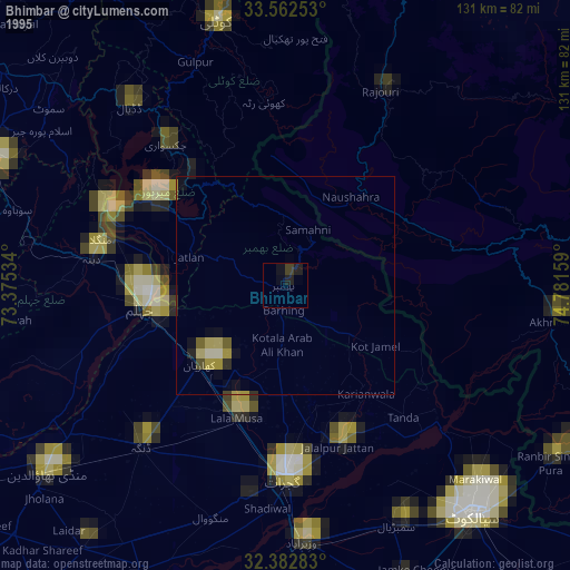
» NASA, Earths city lights 1995
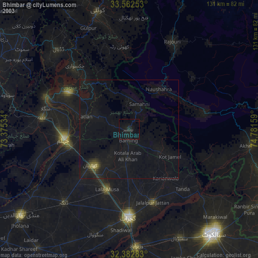
» NASA city lights 2003
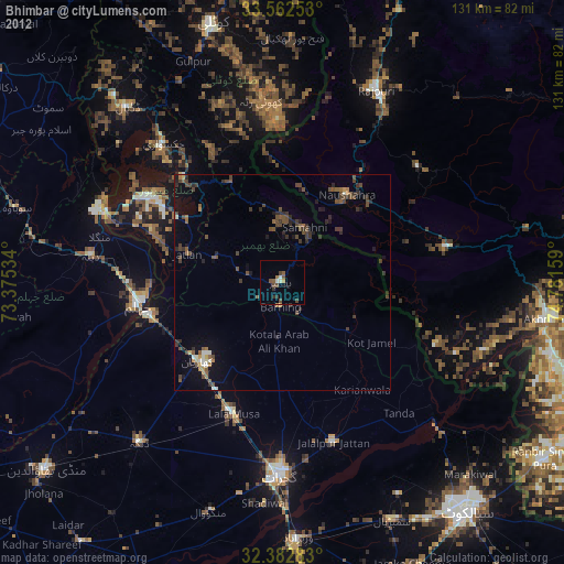
» Earth at Night: Flat Maps 2012, 2016