Kot Ghulam Muhammad night lights from space
Night Light of Kot Ghulam Muhammad (Punjab) from space (Pakistan) Src. Average luminocity for 10x10km area is 0.4579% and for 50x50km: 10.0933%.
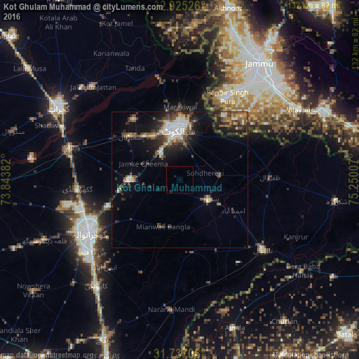
Analysis of Kot Ghulam Muhammad night lights 2016
Square area 10x10 km:
 0%
0%90-99
0%80-89
0%70-79
0%60-69
0%50-59
0%40-49
0%30-39
0%20-29
1.47%10-19
0%0-9
98.53%Square area 50x50 km:
0.69%90-99
2.07%80-89
0.94%70-79
0.89%60-69
1.21%50-59
1.65%40-49
2.37%30-39
2.39%20-29
2.96%10-19
5.45%0-9
79.38%Clear (daylight) street map image can be seen on geolist.org.
Map coordinates:
32° 55' 30.9" North, 73° 50' 37.8" East
32° 19' 59.2" North, 74° 32' 49" East
31° 44' 13.4" North, 75° 15' 0.3" East
Some cities around Kot Ghulam Muhammad sort by population:
• Sialkot
17.8 km =11.1 mi,  355°
355°
• Daska Kalan
18.5 km =11.5 mi,  266°
266°
• Sambrial
24.3 km =15.1 mi,  311°
311°
• Pasrur
13.4 km =8.3 mi,  125°
125°
• Chawinda
14.9 km =9.3 mi,  85°
85°
• Bhopalwala
20.3 km =12.6 mi,  301°
301°
• Kalaswala
17.5 km =10.9 mi,  146°
146°
• Begowala
28.7 km =17.8 mi,  294°
294°
1173272 (p: 20,897)
Sources (retrieved 2019-11-25):
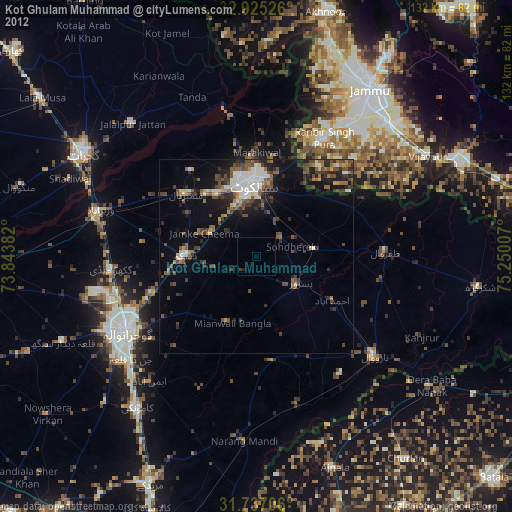
» Earth at Night: Flat Maps 2012, 2016