Daska Kalan night lights from space
Night Light of Daska Kalan (Punjab) from space (Pakistan) Src. Average luminocity for 10x10km area is 18.5256% and for 50x50km: 16.8854%.
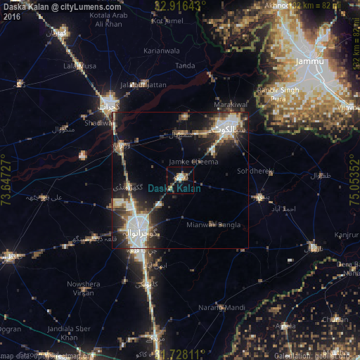
Analysis of Daska Kalan night lights 2016
Square area 10x10 km:
 0.55%
0.55%90-99
3.66%80-89
1.65%70-79
2.01%60-69
2.2%50-59
4.58%40-49
4.03%30-39
3.11%20-29
1.65%10-19
4.76%0-9
71.79%Square area 50x50 km:
1.37%90-99
5.47%80-89
1.69%70-79
1.21%60-69
1.52%50-59
2.09%40-49
3.29%30-39
2.88%20-29
4.7%10-19
8.46%0-9
67.33%Clear (daylight) street map image can be seen on geolist.org.
Map coordinates:
32° 54' 59.1" North, 73° 38' 50.2" East
32° 19' 27.2" North, 74° 21' 1.4" East
31° 43' 41.2" North, 75° 3' 12.7" East
Some cities around Daska Kalan sort by population:
• Gujranwala
24.2 km =15 mi,  219°
219°
• Sialkot
25.3 km =15.7 mi,  42°
42°
• Sambrial
17.1 km =10.6 mi,  0°
0°
• Kot Ghulam Muhammad
18.5 km =11.5 mi,  86°
86°
• Bhopalwala
11.8 km =7.3 mi,  5°
5°
• Sodhri
22 km =13.7 mi,  314°
314°
• Dhaunkal
22 km =13.7 mi,  294°
294°
• Begowala
14.8 km =9.2 mi,  328°
328°
1180436 (p: 126,924)
Sources (retrieved 2019-11-25):
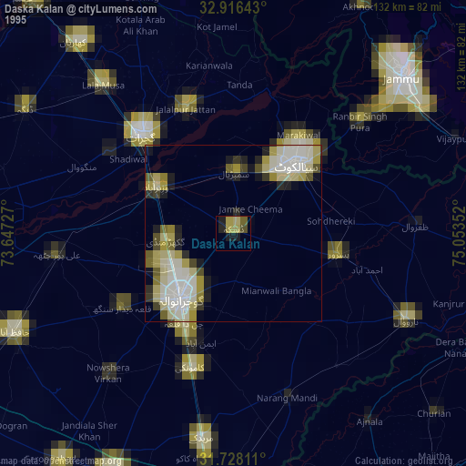
» NASA, Earths city lights 1995
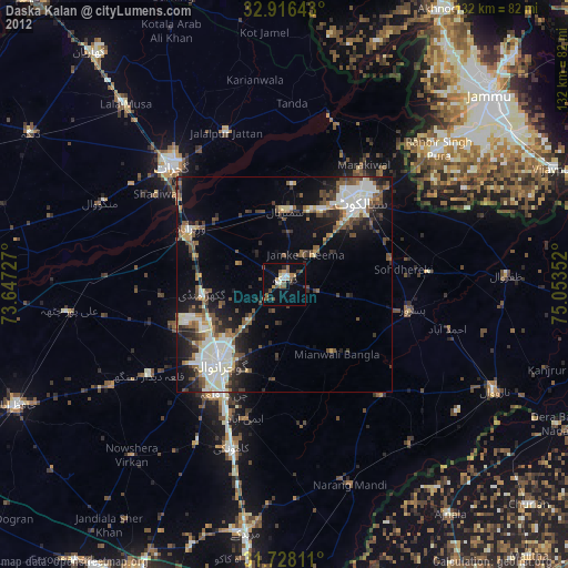
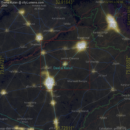
» NASA city lights 2003
» Earth at Night: Flat Maps 2012, 2016