Chawinda night lights from space
Night Light of Chawinda (Punjab) from space (Pakistan) Src. Average luminocity for 10x10km area is 1.5934% and for 50x50km: 11.7975%.
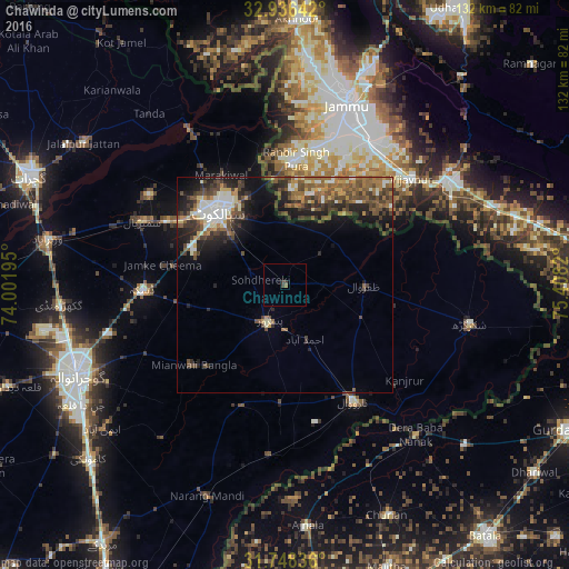
Analysis of Chawinda night lights 2016
Square area 10x10 km:
 0%
0%90-99
0%80-89
0%70-79
0%60-69
0.55%50-59
0.18%40-49
0%30-39
2.01%20-29
0.18%10-19
0.55%0-9
96.52%Square area 50x50 km:
0.73%90-99
2.37%80-89
0.99%70-79
1.06%60-69
2.14%50-59
2.48%40-49
3.07%30-39
2.64%20-29
3.38%10-19
5.79%0-9
75.36%Clear (daylight) street map image can be seen on geolist.org.
Map coordinates:
32° 56' 11.1" North, 74° 0' 7" East
32° 20' 39.6" North, 74° 42' 18.3" East
31° 44' 54.1" North, 75° 24' 29.5" East
Some cities around Chawinda sort by population:
• Sialkot
23.2 km =14.4 mi,  315°
315°
• Narowal
31.2 km =19.4 mi,  149°
149°
• Pasrur
9.9 km =6.2 mi,  203°
203°
• Zafarwal
18.3 km =11.4 mi,  89°
89°
• Kot Ghulam Muhammad
14.9 km =9.3 mi,  265°
265°
• Kalaswala
16.8 km =10.4 mi, 198°
• Norīa, IN
21.5 km =13.4 mi,  24°
24°
• Khaur, IN
30.3 km =18.8 mi, 18°
1181352 (p: 23,599)
Sources (retrieved 2019-11-25):
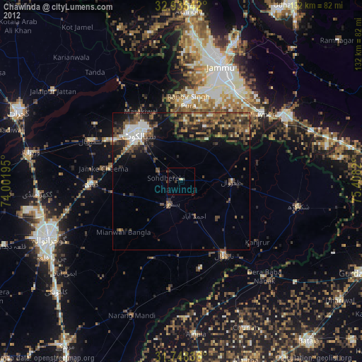
» Earth at Night: Flat Maps 2012, 2016