Shahdad Kot night lights from space
Night Light of Shahdad Kot (Sindh) from space (Pakistan) Src. Average luminocity for 10x10km area is 15.1761% and for 50x50km: 1.1225%.
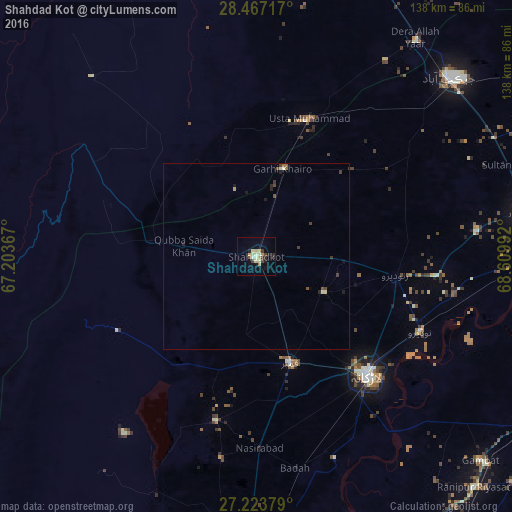

Analysis of Shahdad Kot night lights 2016
Square area 10x10 km:
 0.38%
0.38%90-99
2.65%80-89
4.55%70-79
2.27%60-69
0.76%50-59
0.19%40-49
2.84%30-39
1.89%20-29
2.08%10-19
3.41%0-9
78.98%Square area 50x50 km:
0.02%90-99
0.19%80-89
0.24%70-79
0.11%60-69
0.08%50-59
0.11%40-49
0.27%30-39
0.28%20-29
0.2%10-19
0.32%0-9
98.2%Clear (daylight) street map image can be seen on geolist.org.
Map coordinates:
28° 28' 1.8" North, 67° 12' 13.2" East
27° 50' 50.1" North, 67° 54' 24.4" East
27° 13' 25.6" North, 68° 36' 35.7" East
Some cities around Shahdad Kot sort by population:
• Larkana
43.9 km =27.3 mi,  136°
136°
• Kambar
30.3 km =18.8 mi,  162°
162°
• Ratodero
37.9 km =23.5 mi,  97°
97°
• Usta Muhammad
39.1 km =24.3 mi,  20°
20°
• Mehrabpur
31.2 km =19.4 mi, 21°
• Warah
45.7 km =28.4 mi,  193°
193°
• Garhi Khairo
24.8 km =15.4 mi, 16°
• Miro Khan
20.6 km =12.8 mi,  118°
118°
1165638 (p: 75,411)
Sources (retrieved 2019-11-25):
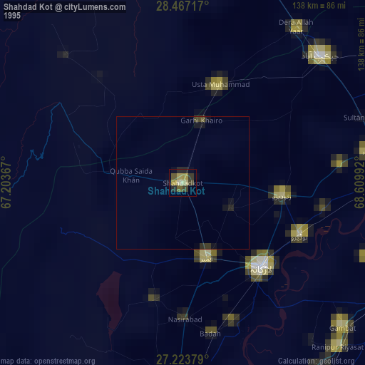
» NASA, Earths city lights 1995
» NASA city lights 2003
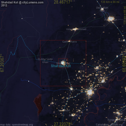
» Earth at Night: Flat Maps 2012, 2016