Haripur night lights from space
Night Light of Haripur (Khyber Pakhtunkhwa) from space (Pakistan) Src. Average luminocity for 10x10km area is 34.9388% and for 50x50km: 9.4761%.
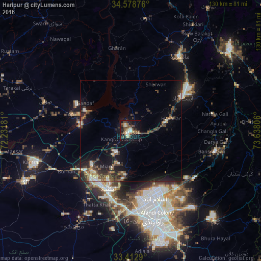
Analysis of Haripur night lights 2016
Square area 10x10 km:
 0.52%
0.52%90-99
8.57%80-89
3.67%70-79
4.55%60-69
2.62%50-59
8.04%40-49
11.54%30-39
4.55%20-29
4.37%10-19
33.74%0-9
17.83%Square area 50x50 km:
0.13%90-99
1.84%80-89
0.85%70-79
0.7%60-69
0.92%50-59
1.75%40-49
2.6%30-39
1.8%20-29
2.97%10-19
8.77%0-9
77.66%Clear (daylight) street map image can be seen on geolist.org.
Map coordinates:
34° 34' 43.5" North, 72° 13' 54.5" East
33° 59' 52.2" North, 72° 56' 5.7" East
33° 24' 46.4" North, 73° 38' 17" East
Some cities around Haripur sort by population:
• Islamabad
32.3 km =20.1 mi,  161°
161°
• Abbottabad
30.4 km =18.9 mi,  57°
57°
• Havelian
21.6 km =13.4 mi,  73°
73°
• Khalabat
8.1 km =5 mi,  328°
328°
• Topi
30 km =18.6 mi,  285°
285°
• Zaida
43.7 km =27.2 mi,  279°
279°
• Hazro City
42 km =26.1 mi,  256°
256°
• Murree
43.2 km =26.8 mi,  103°
103°
1177107 (p: 56,977)
Sources (retrieved 2019-11-25):
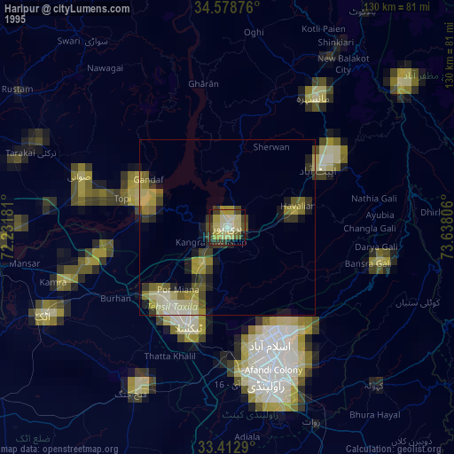
» NASA, Earths city lights 1995
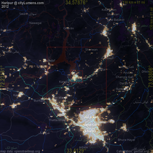
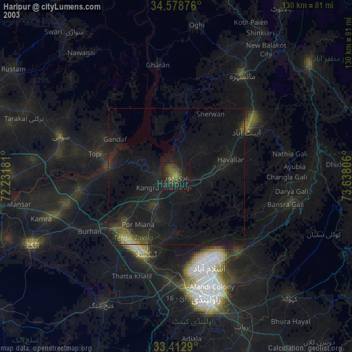
» NASA city lights 2003
» Earth at Night: Flat Maps 2012, 2016