Gojra night lights from space
Night Light of Gojra (Punjab) from space (Pakistan) Src. Average luminocity for 10x10km area is 14.2454% and for 50x50km: 2.0324%.
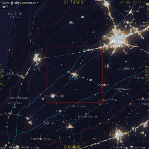
Analysis of Gojra night lights 2016
Square area 10x10 km:
 0%
0%90-99
1.1%80-89
1.1%70-79
2.2%60-69
3.85%50-59
2.75%40-49
2.38%30-39
3.66%20-29
4.95%10-19
0.73%0-9
77.29%Square area 50x50 km:
0.01%90-99
0.26%80-89
0.15%70-79
0.21%60-69
0.3%50-59
0.47%40-49
0.73%30-39
0.42%20-29
0.51%10-19
0.55%0-9
96.41%Clear (daylight) street map image can be seen on geolist.org.
Map coordinates:
31° 44' 56.7" North, 71° 58' 48.4" East
31° 8' 57.3" North, 72° 40' 59.6" East
30° 32' 44.2" North, 73° 23' 10.9" East
Some cities around Gojra sort by population:
• Faisalabad
48.7 km =30.3 mi,  52°
52°
• Jhang Sadr
37.3 km =23.2 mi,  291°
291°
• Kamalia
47.1 km =29.3 mi,  184°
184°
• Toba Tek Singh
27.5 km =17.1 mi,  223°
223°
• Tandlianwala
44.7 km =27.8 mi,  106°
106°
• Mamu Kanjan
37.1 km =23.1 mi,  162°
162°
• Dijkot
30.7 km =19.1 mi,  75°
75°
• Bhawana
46.8 km =29.1 mi,  356°
356°
1178231 (p: 139,726)
Sources (retrieved 2019-11-25):
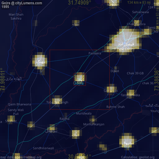
» NASA, Earths city lights 1995
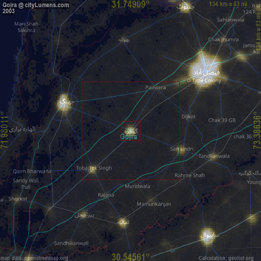
» NASA city lights 2003
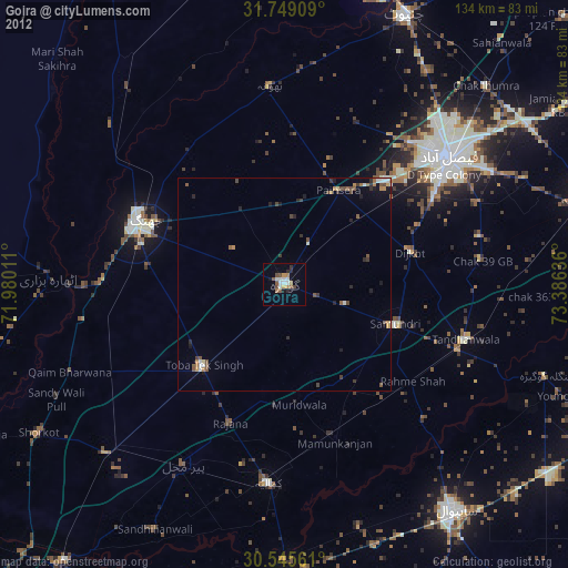
» Earth at Night: Flat Maps 2012, 2016