Bhawana night lights from space
Night Light of Bhawana (Punjab) from space (Pakistan) Src. Average luminocity for 10x10km area is 2.7378% and for 50x50km: 1.1096%.
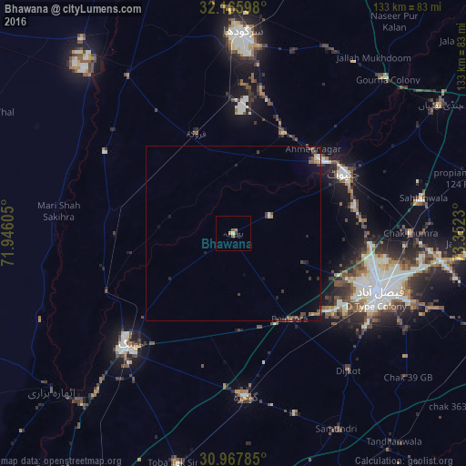
Analysis of Bhawana night lights 2016
Square area 10x10 km:
 0%
0%90-99
0%80-89
0.7%70-79
0%60-69
1.4%50-59
1.4%40-49
0%30-39
0.7%20-29
0%10-19
0%0-9
95.8%Square area 50x50 km:
0.03%90-99
0.09%80-89
0.07%70-79
0.1%60-69
0.18%50-59
0.28%40-49
0.33%30-39
0.28%20-29
0.26%10-19
0.38%0-9
97.99%Clear (daylight) street map image can be seen on geolist.org.
Map coordinates:
32° 9' 57.5" North, 71° 56' 45.8" East
31° 34' 7.8" North, 72° 38' 57" East
30° 58' 4.3" North, 73° 21' 8.3" East
Some cities around Bhawana sort by population:
• Faisalabad
45.1 km =28 mi,  112°
112°
• Chiniot
35.5 km =22.1 mi,  61°
61°
• Chenab Nagar
32.5 km =20.2 mi,  50°
50°
• Lalian
31.9 km =19.8 mi,  26°
26°
• Jahanian Shah
43.9 km =27.3 mi,  306°
306°
• Sillanwali
30.3 km =18.8 mi,  340°
340°
• Faruka
41.8 km =26 mi,  327°
327°
• Mangla
44 km =27.3 mi,  324°
324°
1182682 (p: 16,218)
Sources (retrieved 2019-11-25):
» Earth at Night: Flat Maps 2012, 2016