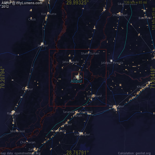
Alipur night lights from space
Night Light of Alipur (Punjab) from space (Pakistan) Src. Average luminocity for 10x10km area is 13.3239% and for 50x50km: 3.2096%.
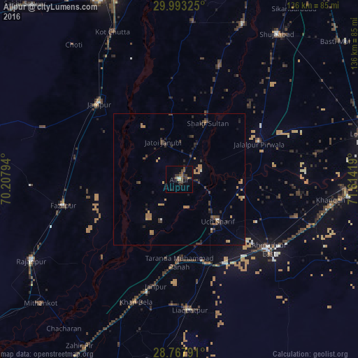
Analysis of Alipur night lights 2016
Square area 10x10 km:
 0.95%
0.95%90-99
0.57%80-89
0%70-79
1.52%60-69
1.14%50-59
4.92%40-49
3.79%30-39
4.92%20-29
1.89%10-19
4.73%0-9
75.57%Square area 50x50 km:
0.07%90-99
0.13%80-89
0.15%70-79
0.42%60-69
0.96%50-59
0.52%40-49
0.87%30-39
0.77%20-29
0.93%10-19
0.73%0-9
94.46%Clear (daylight) street map image can be seen on geolist.org.
Map coordinates:
29° 59' 35.7" North, 70° 12' 28.6" East
29° 22' 56.7" North, 70° 54' 39.8" East
28° 46' 4.5" North, 71° 36' 51.1" East
Some cities around Alipur sort by population:
• Ahmadpur East
42.9 km =26.7 mi,  128°
128°
• Jampur
42.1 km =26.2 mi,  313°
313°
• Rajanpur
64.3 km =40 mi,  241°
241°
• Jatoi Shimali
16.4 km =10.2 mi,  336°
336°
• Jalalpur Pirwala
33.1 km =20.6 mi,  65°
65°
• Khangarh
63.9 km =39.7 mi,  22°
22°
• Dajal
55.3 km =34.4 mi,  290°
290°
• Shahr Sultan
24 km =14.9 mi,  26°
26°
1184655 (p: 33,601)
Sources (retrieved 2019-11-25):
» Earth at Night: Flat Maps 2012, 2016