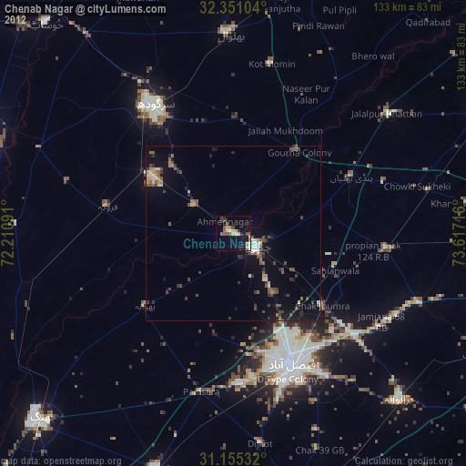
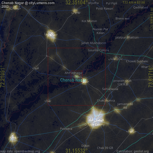
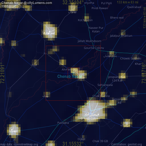
Chenab Nagar night lights from space
Night Light of Chenab Nagar (Punjab) from space (Pakistan) Src. Average luminocity for 10x10km area is 24.6337% and for 50x50km: 6.1922%.
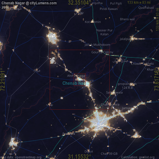
Analysis of Chenab Nagar night lights 2016
Square area 10x10 km:
 0.73%
0.73%90-99
6.04%80-89
2.75%70-79
2.2%60-69
2.56%50-59
3.85%40-49
5.13%30-39
3.11%20-29
3.3%10-19
28.94%0-9
41.39%Square area 50x50 km:
0.5%90-99
1.2%80-89
0.29%70-79
0.47%60-69
0.61%50-59
0.85%40-49
1.34%30-39
1.12%20-29
1.33%10-19
7.03%0-9
85.26%Clear (daylight) street map image can be seen on geolist.org.
Map coordinates:
32° 21' 3.7" North, 72° 12' 39.3" East
31° 45' 18.4" North, 72° 54' 50.5" East
31° 9' 19.2" North, 73° 37' 1.8" East
Some cities around Chenab Nagar sort by population:
• Faisalabad
41.3 km =25.7 mi,  156°
156°
• Sargodha
43.2 km =26.8 mi,  328°
328°
• Chiniot
7.2 km =4.5 mi,  122°
122°
• Chak Jhumra
32.9 km =20.4 mi,  129°
129°
• Pindi Bhattian
37.5 km =23.3 mi,  64°
64°
• Lalian
13.2 km =8.2 mi,  305°
305°
• Sillanwali
36.1 km =22.4 mi,  282°
282°
• Bhawana
32.5 km =20.2 mi,  230°
230°
1167507 (p: 70,000)
Sources (retrieved 2019-11-25):
» NASA, Earths city lights 1995
» NASA city lights 2003
» Earth at Night: Flat Maps 2012, 2016