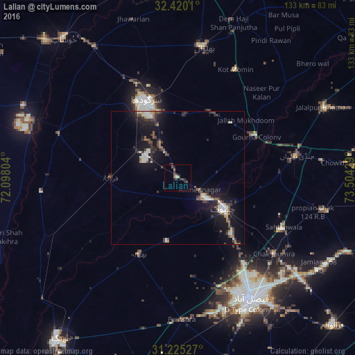
Lalian night lights from space
Night Light of Lalian (Punjab) from space (Pakistan) Src. Average luminocity for 10x10km area is 6.881% and for 50x50km: 6.4791%.

Analysis of Lalian night lights 2016
Square area 10x10 km:
 0%
0%90-99
0.73%80-89
0%70-79
1.28%60-69
0.92%50-59
0.55%40-49
3.66%30-39
2.01%20-29
1.83%10-19
2.2%0-9
86.81%Square area 50x50 km:
0.51%90-99
1.37%80-89
0.34%70-79
0.57%60-69
0.62%50-59
0.74%40-49
1.32%30-39
1.29%20-29
1.52%10-19
7.11%0-9
84.62%Clear (daylight) street map image can be seen on geolist.org.
Map coordinates:
32° 25' 12.4" North, 72° 5' 52.9" East
31° 49' 28.6" North, 72° 48' 4.2" East
31° 13' 31" North, 73° 30' 15.4" East
Some cities around Lalian sort by population:
• Sargodha
31.4 km =19.5 mi,  337°
337°
• Chiniot
20.3 km =12.6 mi,  124°
124°
• Chenab Nagar
13.2 km =8.2 mi,  125°
125°
• Sillanwali
24.6 km =15.3 mi,  270°
270°
• Faruka
37.2 km =23.1 mi,  280°
280°
• Mangla
40.3 km =25 mi, 280°
• Bhawana
31.9 km =19.8 mi,  206°
206°
• Liliani
44.5 km =27.7 mi,  18°
18°
1172295 (p: 31,355)
Sources (retrieved 2019-11-25):
» Earth at Night: Flat Maps 2012, 2016