Chishtian night lights from space
Night Light of Chishtian (Punjab) from space (Pakistan) Src. Average luminocity for 10x10km area is 16.7619% and for 50x50km: 5.9741%.
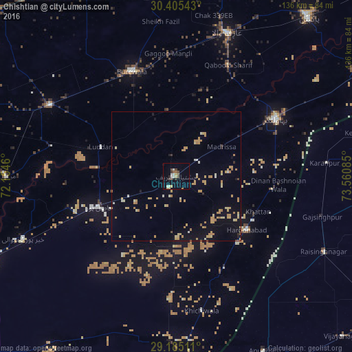
Analysis of Chishtian night lights 2016
Square area 10x10 km:
 0.6%
0.6%90-99
4.37%80-89
1.19%70-79
2.98%60-69
0.79%50-59
1.59%40-49
2.98%30-39
2.58%20-29
1.59%10-19
3.97%0-9
77.38%Square area 50x50 km:
0.09%90-99
0.57%80-89
1.01%70-79
2.22%60-69
0.86%50-59
0.1%40-49
0.19%30-39
0.23%20-29
0.24%10-19
3.04%0-9
91.45%Clear (daylight) street map image can be seen on geolist.org.
Map coordinates:
30° 24' 19.5" North, 72° 9' 16.6" East
29° 47' 49.7" North, 72° 51' 27.8" East
29° 11' 6.4" North, 73° 33' 39.1" East
Some cities around Chishtian sort by population:
• Būrewāla
45.7 km =28.4 mi,  334°
334°
• Bahawalnagar
44.2 km =27.5 mi,  59°
59°
• Vihari
55.7 km =34.6 mi,  299°
299°
• Hasilpur
32.3 km =20.1 mi,  248°
248°
• Harunabad
34 km =21.1 mi,  127°
127°
• Dunga Bunga
37.5 km =23.3 mi,  98°
98°
• Faqirwali
40.4 km =25.1 mi,  154°
154°
• Dinan Bashnoian Wala
39.5 km =24.5 mi, 95°
1181073 (p: 122,199)
Sources (retrieved 2019-11-25):
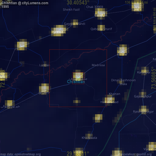
» NASA, Earths city lights 1995
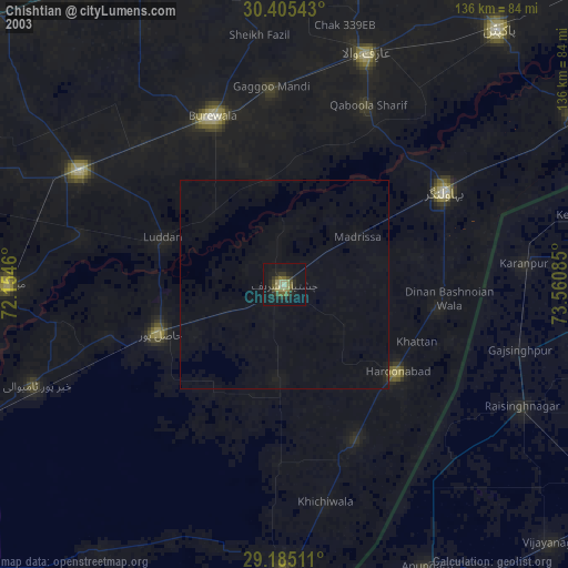
» NASA city lights 2003
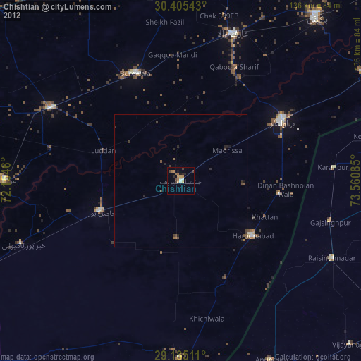
» Earth at Night: Flat Maps 2012, 2016