Don Carlos night lights from space
Night Light of Don Carlos (Northern Mindanao) from space (Philippines) Src. Average luminocity for 10x10km area is 3.4979% and for 50x50km: 0.7816%.
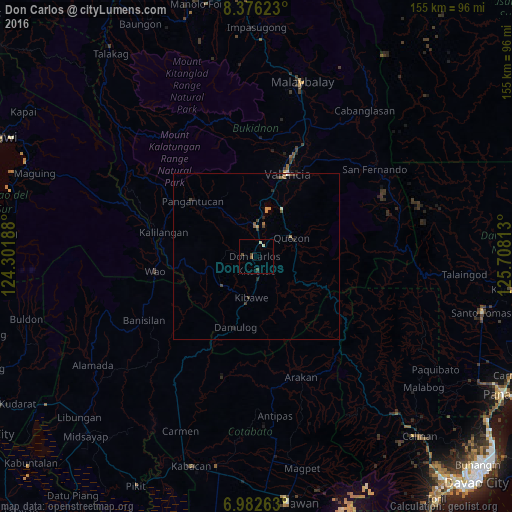
Analysis of Don Carlos night lights 2016
Square area 10x10 km:
 0%
0%90-99
0.83%80-89
0.83%70-79
0%60-69
0%50-59
0.83%40-49
2.07%30-39
0.41%20-29
0%10-19
0.41%0-9
94.63%Square area 50x50 km:
0.02%90-99
0.05%80-89
0.07%70-79
0.13%60-69
0.12%50-59
0.19%40-49
0.3%30-39
0.17%20-29
0.15%10-19
0.12%0-9
98.69%Clear (daylight) street map image can be seen on geolist.org.
Map coordinates:
8° 22' 34.4" North, 124° 18' 6.8" East
7° 40' 48" North, 125° 0' 18" East
6° 58' 57.5" North, 125° 42' 29.3" East
Some cities around Don Carlos sort by population:
• Maramag
9.3 km =5.8 mi,  0°
0°
• Quezon
11.8 km =7.3 mi,  61°
61°
• Dologon
18.4 km =11.4 mi,  13°
13°
• Damulog
22.9 km =14.2 mi,  197°
197°
• Kadingilan
13.8 km =8.6 mi,  230°
230°
• Salawagan
12.4 km =7.7 mi,  76°
76°
• San Jose
9.6 km =6 mi,  48°
48°
• Kibawe
12.5 km =7.8 mi,  188°
188°
1714441 (p: 20,468)
Sources (retrieved 2019-11-25):
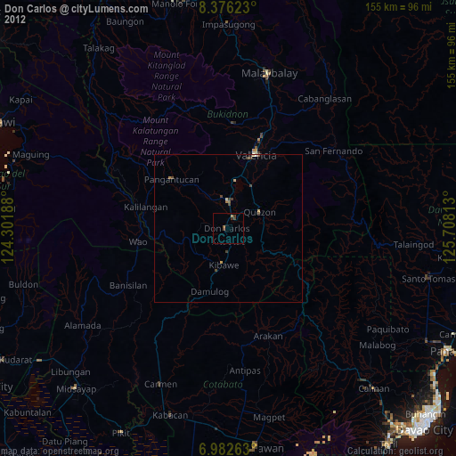
» Earth at Night: Flat Maps 2012, 2016