Maramag night lights from space
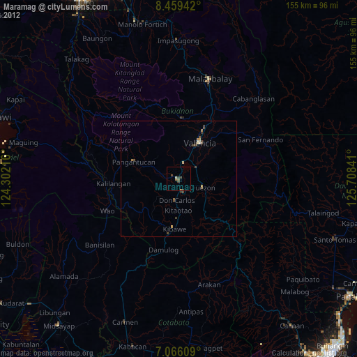
Night Light of Maramag (Northern Mindanao) from space (Philippines) Src. Average luminocity for 10x10km area is 5.7583% and for 50x50km: 1.1076%.
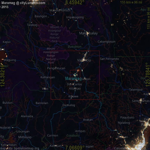
Analysis of Maramag night lights 2016
Square area 10x10 km:
 0%
0%90-99
0%80-89
0.41%70-79
2.48%60-69
0.83%50-59
1.65%40-49
1.24%30-39
1.24%20-29
0.83%10-19
0%0-9
91.32%Square area 50x50 km:
0.03%90-99
0.07%80-89
0.09%70-79
0.14%60-69
0.15%50-59
0.29%40-49
0.37%30-39
0.34%20-29
0.23%10-19
0.24%0-9
98.05%Clear (daylight) street map image can be seen on geolist.org.
Map coordinates:
8° 27' 33.9" North, 124° 18' 7.8" East
7° 45' 48" North, 125° 0' 19" East
7° 3' 57.9" North, 125° 42' 30.3" East
Some cities around Maramag sort by population:
• NIA Valencia
18.7 km =11.6 mi,  31°
31°
• Quezon
10.9 km =6.8 mi,  109°
109°
• Don Carlos
9.3 km =5.8 mi,  180°
180°
• Dologon
9.6 km =6 mi, 26°
• Kadingilan
20.9 km =13 mi,  210°
210°
• Salawagan
13.7 km =8.5 mi,  118°
118°
• San Jose
7.8 km =4.8 mi, 112°
• Kibawe
21.7 km =13.5 mi,  185°
185°
1701124 (p: 33,844)
Sources (retrieved 2019-11-25):
» Earth at Night: Flat Maps 2012, 2016