Bau night lights from space
Night Light of Bau (Soccsksargen) from space (Philippines) Src. Average luminocity for 10x10km area is 0% and for 50x50km: 0.0113%.
Analysis of Bau night lights 2016
Square area 10x10 km:
100  0%
0%
90-99 0%
80-89 0%
70-79 0%
60-69 0%
50-59 0%
40-49 0%
30-39 0%
20-29 0%
10-19 0%
0-9 100%
0%90-99
0%80-89
0%70-79
0%60-69
0%50-59
0%40-49
0%30-39
0%20-29
0%10-19
0%0-9
100%Square area 50x50 km:
100 0%
90-99 0%
80-89 0%
70-79 0%
60-69 0%
50-59 0.02%
40-49 0%
30-39 0%
20-29 0%
10-19 0%
0-9 99.98%
0%90-99
0%80-89
0%70-79
0%60-69
0%50-59
0.02%40-49
0%30-39
0%20-29
0%10-19
0%0-9
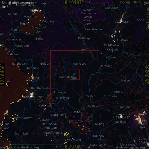
99.98%Clear (daylight) street map image can be seen on geolist.org.
Map coordinates:
8° 6' 7.1" North, 123° 56' 47.8" East
7° 24' 19" North, 124° 38' 59" East
6° 42' 27" North, 125° 21' 10.3" East
Some cities around Bau sort by population:
• Midsayap
27.2 km =16.9 mi,  208°
208°
• Wao
31 km =19.3 mi,  3°
3°
• Pigcawayan
28.5 km =17.7 mi,  240°
240°
• Carmen
27.3 km =17 mi,  144°
144°
• Banisilan
12.6 km =7.8 mi,  40°
40°
• Glad
32 km =19.9 mi, 206°
• Libungan
23.2 km =14.4 mi,  218°
218°
• Buayan
20.8 km =12.9 mi, 219°
1725998 (p: 6,672)
Sources (retrieved 2019-11-25):
» Earth at Night: Flat Maps 2012, 2016