Kibawe night lights from space
Night Light of Kibawe (Northern Mindanao) from space (Philippines) Src. Average luminocity for 10x10km area is 0.7641% and for 50x50km: 0.4411%.
Analysis of Kibawe night lights 2016
Square area 10x10 km:
 0%
0%90-99
0%80-89
0%70-79
0%60-69
0%50-59
0%40-49
1.3%30-39
0.43%20-29
0%10-19
0%0-9
98.27%Square area 50x50 km:
0%90-99
0.03%80-89
0.03%70-79
0.03%60-69
0.07%50-59
0.1%40-49
0.22%30-39
0.13%20-29
0.13%10-19
0.1%0-9
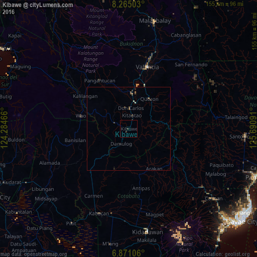
99.17%Clear (daylight) street map image can be seen on geolist.org.
Map coordinates:
8° 15' 54.1" North, 124° 17' 4.8" East
7° 34' 7" North, 124° 59' 16" East
6° 52' 15.8" North, 125° 41' 27.3" East
Some cities around Kibawe sort by population:
• Maramag
21.7 km =13.5 mi,  5°
5°
• Quezon
21.7 km =13.5 mi,  34°
34°
• Don Carlos
12.5 km =7.8 mi, 8°
• Damulog
10.7 km =6.6 mi,  207°
207°
• Kadingilan
9.4 km =5.8 mi,  292°
292°
• Salawagan
20.7 km =12.9 mi,  42°
42°
• San Jose
20.8 km =12.9 mi, 25°
• Banisilan
30.3 km =18.8 mi,  253°
253°
1708865 (p: 5,081)
Sources (retrieved 2019-11-25):
» Earth at Night: Flat Maps 2012, 2016