Tungao night lights from space
Night Light of Tungao (Caraga) from space (Philippines) Src. Average luminocity for 10x10km area is 0% and for 50x50km: 1.7232%.
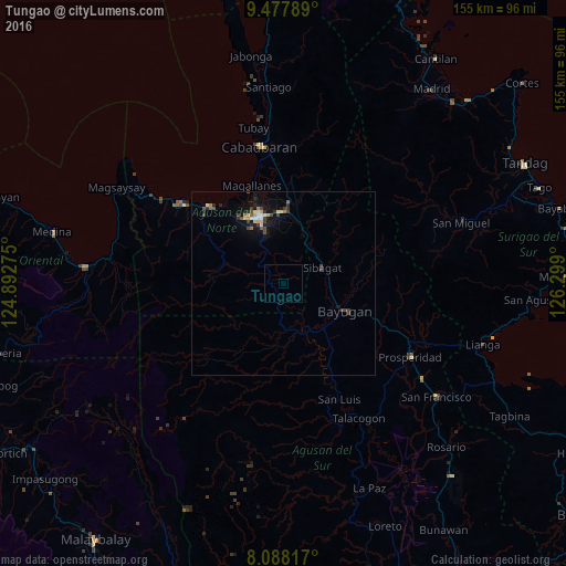
Analysis of Tungao night lights 2016
Square area 10x10 km:
 0%
0%90-99
0%80-89
0%70-79
0%60-69
0%50-59
0%40-49
0%30-39
0%20-29
0%10-19
0%0-9
100%Square area 50x50 km:
0.1%90-99
0.15%80-89
0.29%70-79
0.22%60-69
0.13%50-59
0.14%40-49
0.5%30-39
0.38%20-29
0.36%10-19
1.21%0-9
96.51%Clear (daylight) street map image can be seen on geolist.org.
Map coordinates:
9° 28' 40.4" North, 124° 53' 33.9" East
8° 46' 42.3" North, 125° 34' 5.9" East
8° 5' 17.4" North, 126° 17' 56.4" East
Some cities around Tungao sort by population:
• Butuan
19.2 km =11.9 mi,  351°
351°
• Libertad
19.8 km =12.3 mi,  338°
338°
• Bayugan
22 km =13.7 mi,  96°
96°
• Buenavista
28.2 km =17.5 mi,  321°
321°
• Nasipit
36.8 km =22.9 mi,  305°
305°
• Taligaman
17 km =10.6 mi,  34°
34°
• Magallanes
27.4 km =17 mi, 348°
• Esperanza
14.2 km =8.8 mi,  142°
142°
1680687 (p: 8,910)
Sources (retrieved 2019-11-25):
» Earth at Night: Flat Maps 2012, 2016