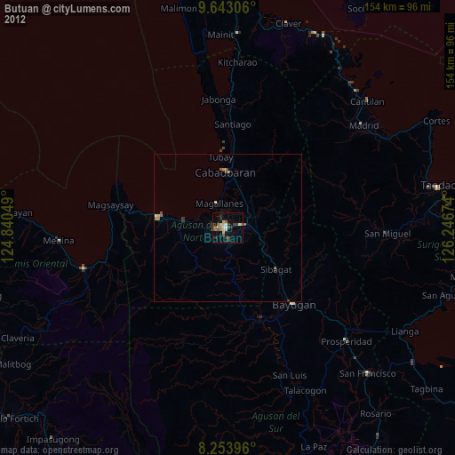
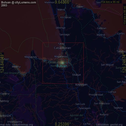
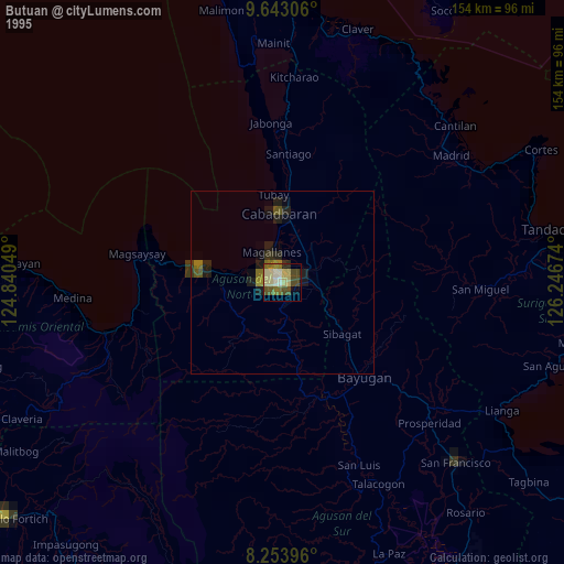
Butuan night lights from space
Night Light of Butuan (Caraga) from space (Philippines) Src. Average luminocity for 10x10km area is 28.2468% and for 50x50km: 2.0219%.
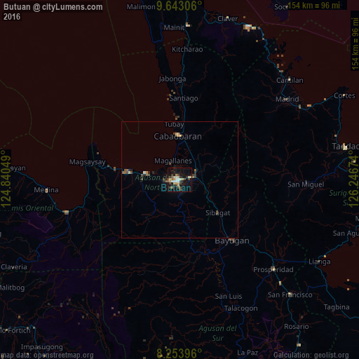
Analysis of Butuan night lights 2016
Square area 10x10 km:
 2.16%
2.16%90-99
3.46%80-89
6.71%70-79
4.98%60-69
1.73%50-59
2.16%40-49
6.06%30-39
4.55%20-29
3.68%10-19
26.84%0-9
37.66%Square area 50x50 km:
0.1%90-99
0.15%80-89
0.37%70-79
0.29%60-69
0.2%50-59
0.27%40-49
0.55%30-39
0.32%20-29
0.42%10-19
1.22%0-9
96.1%Clear (daylight) street map image can be seen on geolist.org.
Map coordinates:
9° 38' 35" North, 124° 50' 25.8" East
8° 56' 57" North, 125° 32' 37" East
8° 15' 14.3" North, 126° 14' 48.3" East
Some cities around Butuan sort by population:
• Libertad
4.6 km =2.9 mi,  263°
263°
• Cabadbaran
19.3 km =12 mi,  357°
357°
• Buenavista
15.1 km =9.4 mi,  281°
281°
• Nasipit
27.4 km =17 mi,  274°
274°
• Tungao
19.2 km =11.9 mi,  171°
171°
• Tubay
24.3 km =15.1 mi,  354°
354°
• Taligaman
13.3 km =8.3 mi,  111°
111°
• Magallanes
8.4 km =5.2 mi,  339°
339°
1722186 (p: 309,709)
Sources (retrieved 2019-11-25):
» NASA, Earths city lights 1995
» NASA city lights 2003
» Earth at Night: Flat Maps 2012, 2016