Bayugan night lights from space
Night Light of Bayugan (Caraga) from space (Philippines) Src. Average luminocity for 10x10km area is 1.2562% and for 50x50km: 0.8388%.
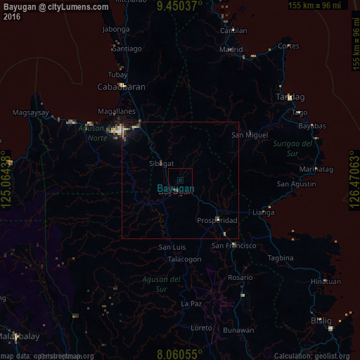
Analysis of Bayugan night lights 2016
Square area 10x10 km:
 0%
0%90-99
0%80-89
0%70-79
0%60-69
0%50-59
0%40-49
1.45%30-39
1.45%20-29
0%10-19
0.83%0-9
96.28%Square area 50x50 km:
0.04%90-99
0.04%80-89
0.16%70-79
0.13%60-69
0.03%50-59
0.09%40-49
0.31%30-39
0.29%20-29
0.12%10-19
0.66%0-9
98.13%Clear (daylight) street map image can be seen on geolist.org.
Map coordinates:
9° 27' 1.3" North, 125° 3' 51.8" East
8° 45' 22" North, 125° 46' 3" East
8° 3' 38" North, 126° 28' 14.3" East
Some cities around Bayugan sort by population:
• Butuan
32.6 km =20.3 mi,  311°
311°
• Bah-Bah
23.1 km =14.4 mi,  135°
135°
• San Francisco
31.7 km =19.7 mi, 140°
• Tungao
22 km =13.7 mi,  276°
276°
• Taligaman
20.6 km =12.8 mi,  323°
323°
• Patin-ay
29.5 km =18.3 mi, 140°
• San Luis
31 km =19.3 mi,  184°
184°
• Esperanza
15.9 km =9.9 mi,  236°
236°
1725684 (p: 40,561)
Sources (retrieved 2019-11-25):
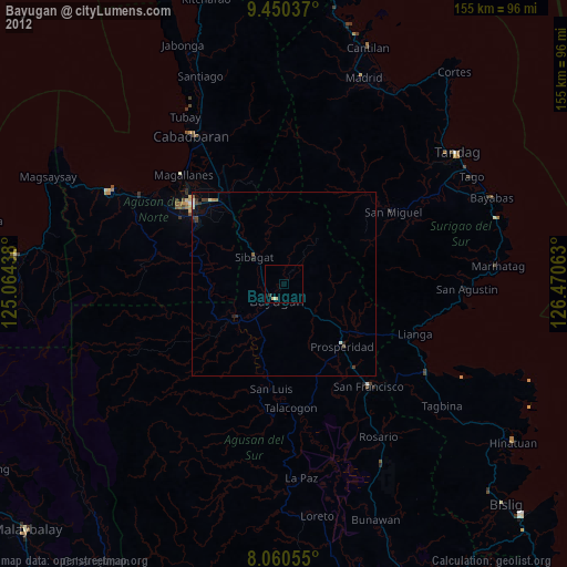
» Earth at Night: Flat Maps 2012, 2016