Magallanes night lights from space
Night Light of Magallanes (Caraga) from space (Philippines) Src. Average luminocity for 10x10km area is 2.487% and for 50x50km: 2.1033%.
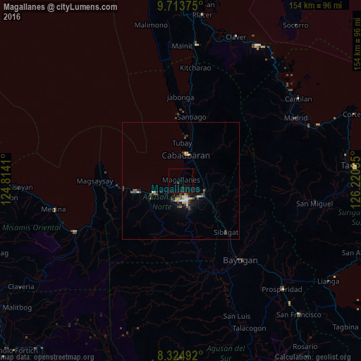
Analysis of Magallanes night lights 2016
Square area 10x10 km:
 0%
0%90-99
0%80-89
0%70-79
0%60-69
0%50-59
0%40-49
0.65%30-39
0.22%20-29
0.43%10-19
3.46%0-9
95.24%Square area 50x50 km:
0.1%90-99
0.15%80-89
0.37%70-79
0.29%60-69
0.2%50-59
0.3%40-49
0.59%30-39
0.39%20-29
0.46%10-19
1.23%0-9
95.91%Clear (daylight) street map image can be seen on geolist.org.
Map coordinates:
9° 42' 49.5" North, 124° 48' 50.8" East
9° 1' 12" North, 125° 31' 2" East
8° 19' 29.7" North, 126° 13' 13.3" East
Some cities around Magallanes sort by population:
• Butuan
8.4 km =5.2 mi,  159°
159°
• Libertad
8.6 km =5.3 mi,  191°
191°
• Cabadbaran
11.6 km =7.2 mi,  9°
9°
• Buenavista
12.8 km =8 mi,  248°
248°
• Nasipit
25.1 km =15.6 mi,  256°
256°
• Tungao
27.4 km =17 mi,  168°
168°
• Tubay
16.4 km =10.2 mi,  2°
2°
• Taligaman
19.9 km =12.4 mi,  130°
130°
1704058 (p: 6,636)
Sources (retrieved 2019-11-25):
» Earth at Night: Flat Maps 2012, 2016