Nasipit night lights from space
Night Light of Nasipit (Caraga) from space (Philippines) Src. Average luminocity for 10x10km area is 3.4848% and for 50x50km: 1.0708%.
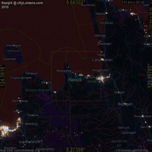
Analysis of Nasipit night lights 2016
Square area 10x10 km:
 0%
0%90-99
0%80-89
0%70-79
0%60-69
0.87%50-59
2.38%40-49
1.08%30-39
1.73%20-29
0%10-19
0.22%0-9
93.72%Square area 50x50 km:
0.03%90-99
0.05%80-89
0.14%70-79
0.11%60-69
0.12%50-59
0.2%40-49
0.42%30-39
0.23%20-29
0.28%10-19
0.45%0-9
97.96%Clear (daylight) street map image can be seen on geolist.org.
Map coordinates:
9° 39' 46.9" North, 124° 35' 29.8" East
8° 58' 9" North, 125° 17' 41" East
8° 16' 26.4" North, 125° 59' 52.3" East
Some cities around Nasipit sort by population:
• Butuan
27.4 km =17 mi,  94°
94°
• Libertad
22.9 km =14.2 mi,  96°
96°
• Mariano
24.7 km =15.3 mi,  232°
232°
• Cabadbaran
31.5 km =19.6 mi,  57°
57°
• Buenavista
12.6 km =7.8 mi, 86°
• Medina
30.4 km =18.9 mi,  257°
257°
• Lunao
29.3 km =18.2 mi,  243°
243°
• Magallanes
25.1 km =15.6 mi,  76°
76°
1698063 (p: 9,407)
Sources (retrieved 2019-11-25):
» Earth at Night: Flat Maps 2012, 2016