Tubod night lights from space
Night Light of Tubod (Davao) from space (Philippines) Src. Average luminocity for 10x10km area is 7.8442% and for 50x50km: 5.543%.
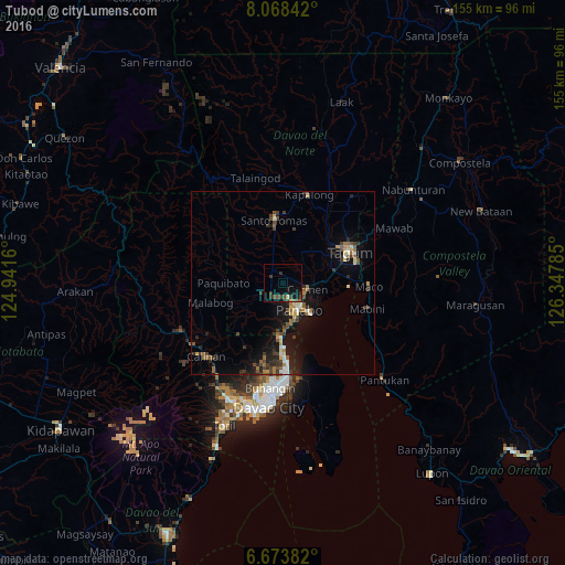
Analysis of Tubod night lights 2016
Square area 10x10 km:
 0%
0%90-99
0%80-89
1.3%70-79
0%60-69
0.22%50-59
1.3%40-49
3.68%30-39
3.68%20-29
1.73%10-19
7.36%0-9
80.74%Square area 50x50 km:
0.41%90-99
0.49%80-89
0.56%70-79
0.59%60-69
0.71%50-59
1.02%40-49
1.01%30-39
1.44%20-29
1.57%10-19
4.51%0-9
87.69%Clear (daylight) street map image can be seen on geolist.org.
Map coordinates:
8° 4' 6.3" North, 124° 56' 29.8" East
7° 22' 18" North, 125° 38' 41" East
6° 40' 25.8" North, 126° 20' 52.3" East
Some cities around Tubod sort by population:
• Panabo
8.3 km =5.2 mi,  148°
148°
• Cabayangan
10.5 km =6.5 mi,  67°
67°
• New Visayas
17 km =10.6 mi,  352°
352°
• Carmen
6.9 km =4.3 mi,  100°
100°
• Corocotan
14.5 km =9 mi,  77°
77°
• Lasang
11.9 km =7.4 mi,  169°
169°
• Alejal
2.2 km =1.4 mi,  50°
50°
• La Libertad
12.1 km =7.5 mi,  1°
1°
1681150 (p: 7,871)
Sources (retrieved 2019-11-25):
» Earth at Night: Flat Maps 2012, 2016