Corocotan night lights from space
Night Light of Corocotan (Davao) from space (Philippines) Src. Average luminocity for 10x10km area is 8.0411% and for 50x50km: 4.3241%.
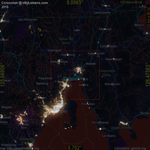
Analysis of Corocotan night lights 2016
Square area 10x10 km:
 0.65%
0.65%90-99
1.3%80-89
1.52%70-79
0%60-69
0%50-59
1.3%40-49
0%30-39
2.6%20-29
3.03%10-19
4.55%0-9
85.06%Square area 50x50 km:
0.26%90-99
0.4%80-89
0.59%70-79
0.52%60-69
0.42%50-59
0.74%40-49
0.79%30-39
1.04%20-29
0.82%10-19
3.91%0-9
90.49%Clear (daylight) street map image can be seen on geolist.org.
Map coordinates:
8° 5' 47.4" North, 125° 4' 10.5" East
7° 23' 59.3" North, 125° 46' 21.7" East
6° 42' 7.2" North, 126° 28' 33" East
Some cities around Corocotan sort by population:
• Magugpo Poblacion
6.4 km =4 mi,  33°
33°
• Panabo
14.1 km =8.8 mi,  223°
223°
• Cabayangan
4.4 km =2.7 mi,  280°
280°
• Maco
10 km =6.2 mi,  114°
114°
• Carmen
8.5 km =5.3 mi,  239°
239°
• Alejal
12.5 km =7.8 mi,  262°
262°
• Tubod
14.5 km =9 mi, 257°
• Cuambog
13.1 km =8.1 mi,  140°
140°
1718985 (p: 9,025)
Sources (retrieved 2019-11-25):
» Earth at Night: Flat Maps 2012, 2016